|
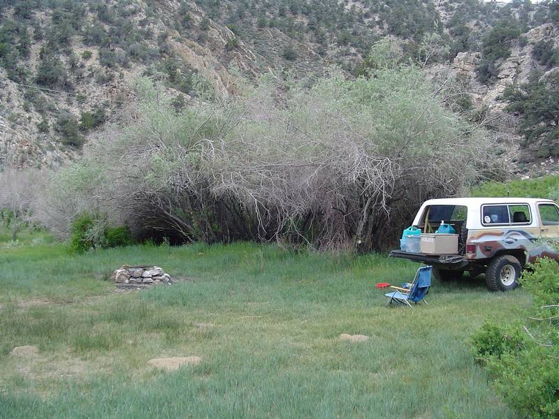
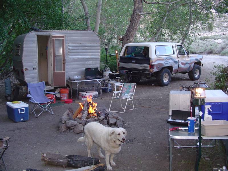
This trip was quite a bit different than expected. First off we arrived at Goodale Creek Campground and were greeted by wind.
The first day wasn't bad but it got worse very quickly. As a matter of fact it started blowing that afternoon and didn't
let up for a week. The average was around 20 mph I would guess. Gusts to 40 in some places. On top of Silver Peak it was
blowing so hard that it made it dangerous to get out of the truck. So I didn't get any pictures of Silver Peak.
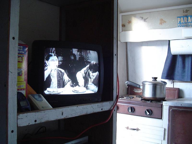
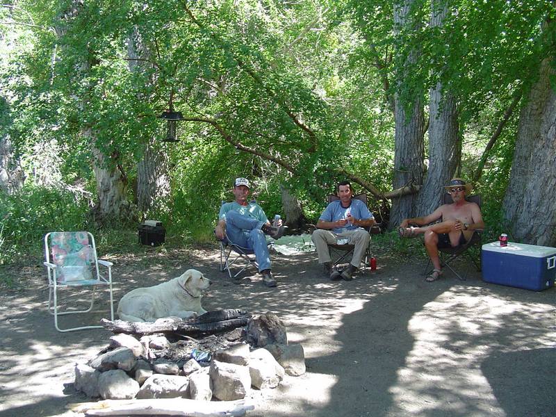
However we didn't let the wind bother us much. We just found it difficult if not impossible to have a camp fire. The trailer
made it easy for me to cook though. So I became "Cook Man". Jeff, who was making his first trip with us became "Fire Man"
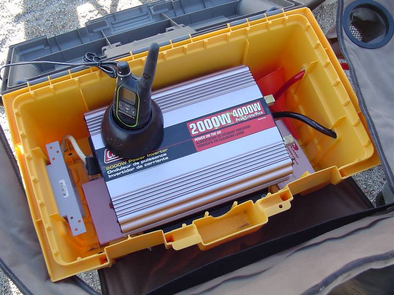
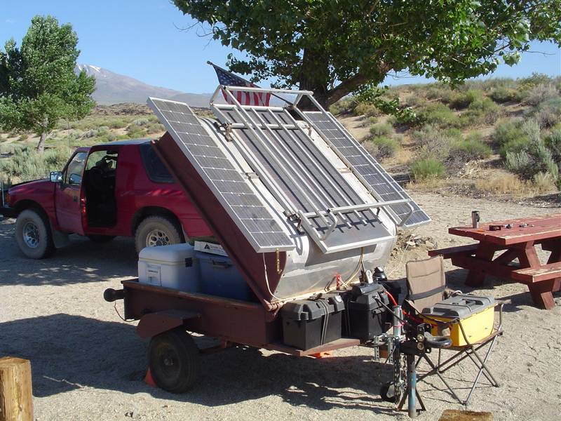
just because he volunteered for the job. Tim Farnum, (Farny) was "Power Man" because he had the solar generator along for
it's maiden voyage. It worked quite well and never ran out of juice no matter how stupid we got with it. We even plugged
a bug zapper into it. Not a real good idea in the woods though. Seems it attracts more and bigger bugs than it can handle.
Some even started to smoke and burn. Very entertaining but the dog hated it.
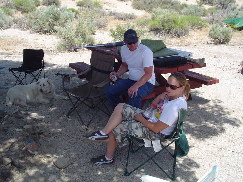
While at Goodale Creek a few of our internet friends popped in. I'm glad I posted my trip plans before I left. Lepidium
and his wife stopped in on our first day. Lucky Pabst
Stopped by on the second day of the trip. He spent the night in the next campsite over in his new to him VW camper bus.
Later in the week Snow Nymph stopped by to say hello.
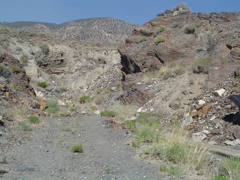
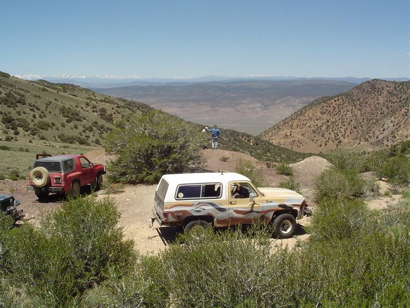
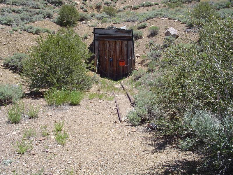
Our agenda was not planned untill each day arrived. We would go to Reward mine first. Just had to show that one to these
guys. They have never driven into a mine before. While there, we climbed up to the top of the upper ore bin in the canyon.
There we found a narrow trail etched out of the mountain that goes all the way around to the other side. We also revisited
the lower Mazourka Canyon. Every time I've been to the top I've made a mental note to take a look up some of the side roads
at the bottom. We did that this time. We also did the White Mountain Traverse. Up Wyman Canyon
on the east side of the Whites and down Silver Canyon from Silver Peak on the west side. This was an all day trip and
untill we reached the peak we experienced very little wind.
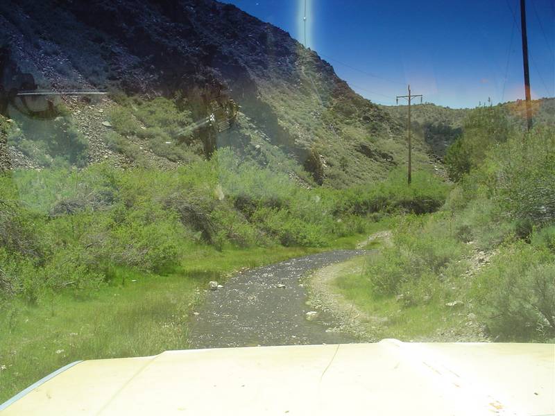
Heading into the canyons was the only way to beat the wind. This worked very well during the daytime but the nights were
spent in the tents and trailer watching movies. We did the Eastside Road and although it runs along the
foothills of the Inyos between Mazourka Canyon road and Aberdeen Station Road, there are quite a few places where it goes
up into the canyons taking us out of the wind. It includes a visit to Crystal Ridge where
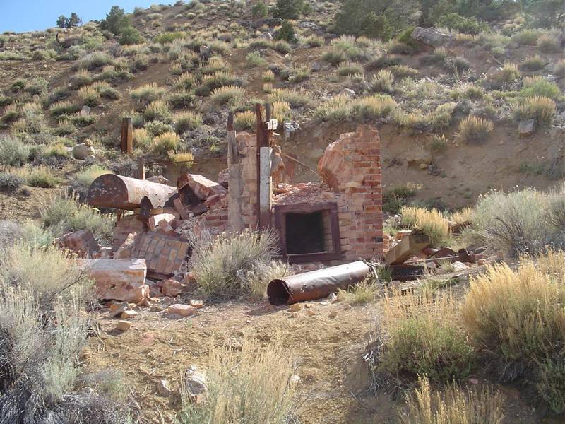
many large crystals have been found and some strip mines. Along the way we found a very nice arrastre. Unfortunately the
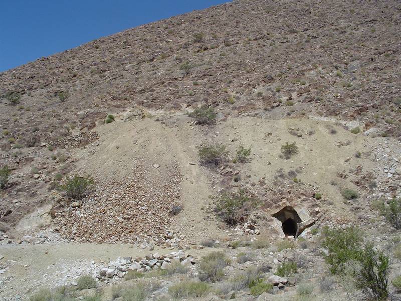
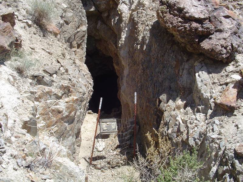
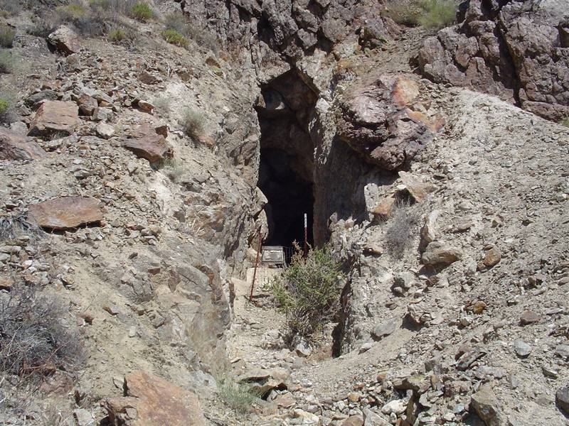
drag stones were missing. The Eastside Road trip concluded with a visit to the Black Jack Mine which goes all
the way through the mountain.
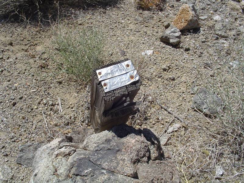
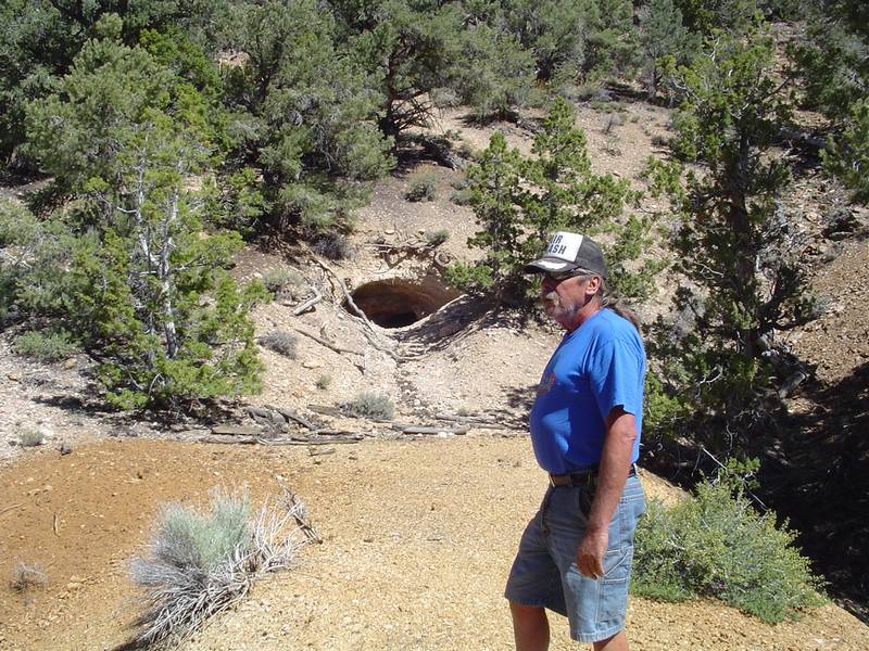
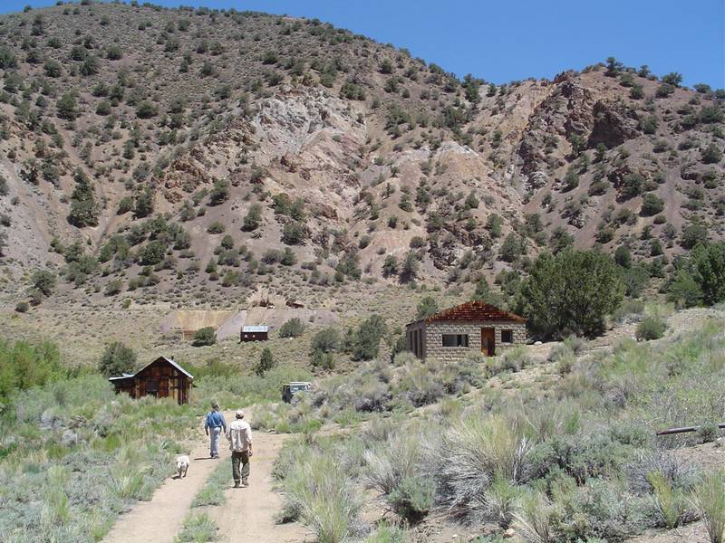
The last exploring trip in the area would be the Mollie Gibson Mine up Mollie Gibson Canyon off Highway 168. Roger
Mitchell said that it was very easy to miss the most important right turn in the trip and we missed it for sure. However
all it really did was postpone the best for the last. Once found we really enjoyed the hike to the main adit and I got
the same photo of the tailings pile that Roger has in his book. As we were getting ready to head back to the trucks I
temporarily lost track of Tabby the Wonder Dog. This really gave me a scare at first as the area was heavilly wooded
and the terrain was very hilly. I finally found her sitting in the shade under a pinion tree with a pretty big thorn in
her foot. I immagine this was the reason whe stopped following me. I found her by standing very still and listening for
her breathing or any other noise she might be making. It was her breathing that I heard and followed. This has given me an
idea to build a little beeper to put on her collar. It would be activated with a remote much like a garage door opener.
I'll train her to bark when she hears the beeper go off.
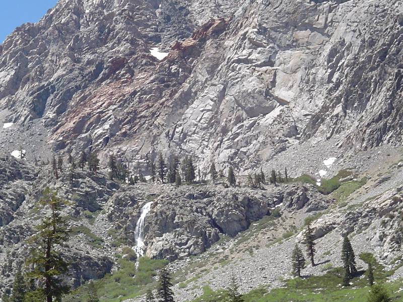
We ended our stay at Goodale Creek with a trip up Onion Valley to do some fishing and compete in the Independence Fishing
Derby. Just my luck I wasn't feeling well so we took a few pictures of the water falls at the top and then headed back to
the camp ground to rest up for the following day's move to Pine Creek just north of Bishop. As I told Nate, I don't do well
in competition anyways and in some cases get completely skunked when I compete. As we passed the weigh-in area at the local
park we noticed that they had quite a nice turnout. Good job Nate!
Sunday we packed up the camp and moved it to Pine Creek We spent the rest of the day just enjoying the new camp ground. We
had our second evening fire of the trip and the winds had died. All was well. The creek was running high due to the run off
but it posed no threat to our campsite. The sound of the rushing water was better than a sleeping pill. And unlike the last
time there were fish to be caught. I caught a nice brown on the first cast not ten feet from the trailer. Sorry I didn't
have my camera ready.
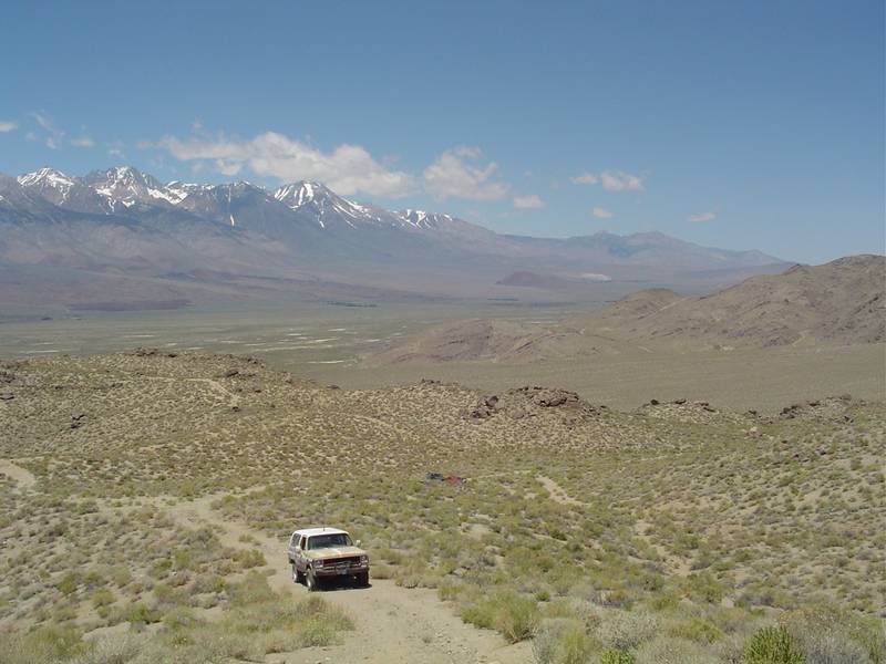
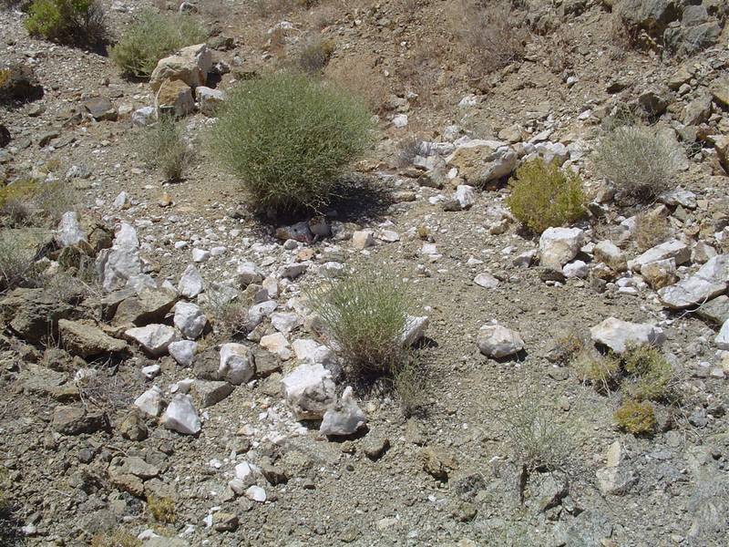
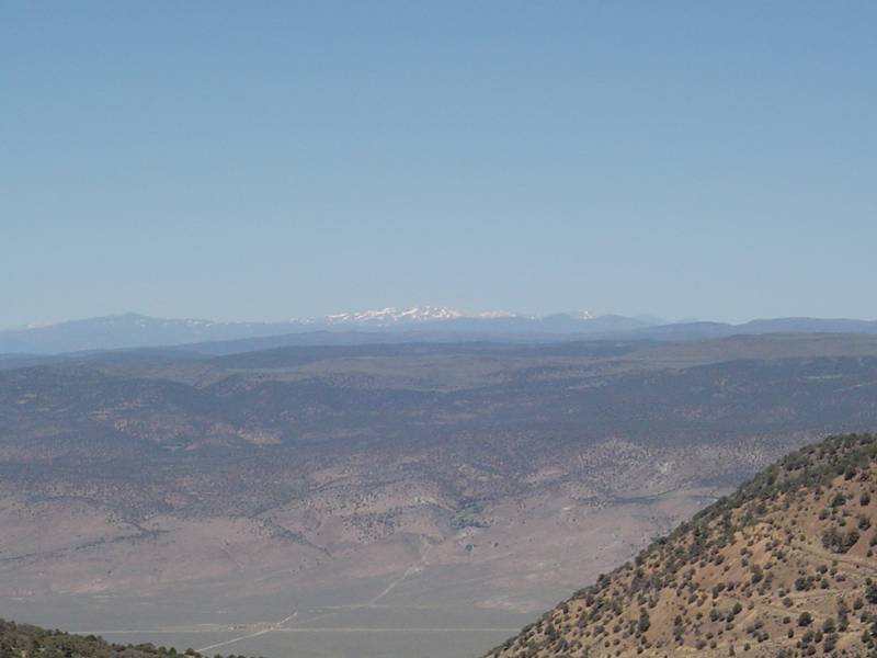
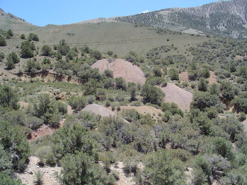
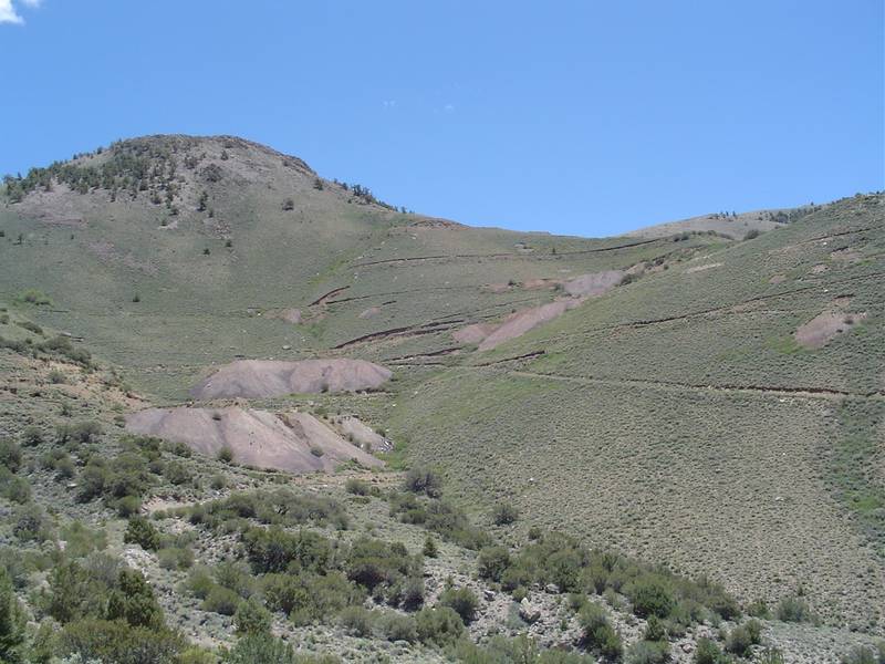
Monday we went back to the Buena Vista Mining District. It was my third trip to the area and the more I see the more I find
that I haven't seen. I think I could spend a whole summer there mapping and cataloging the mines. But as I found out on this
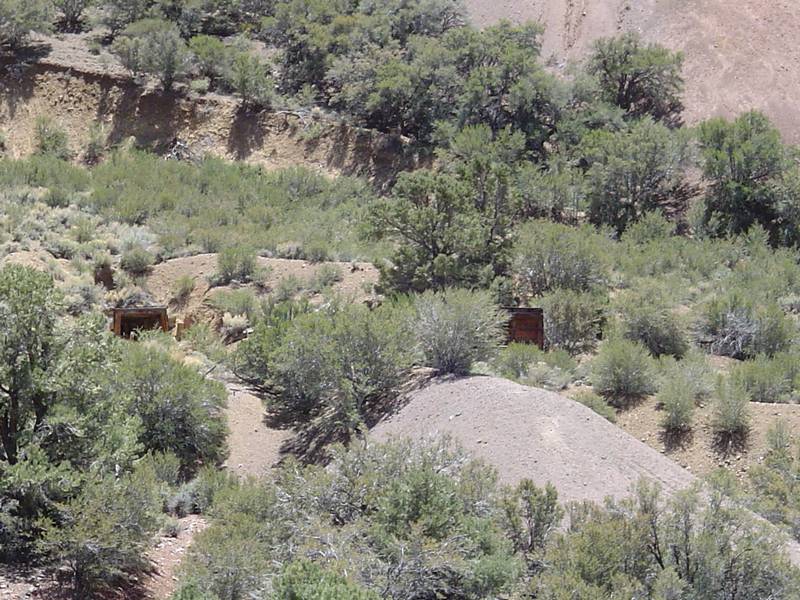
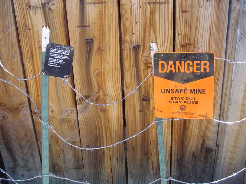
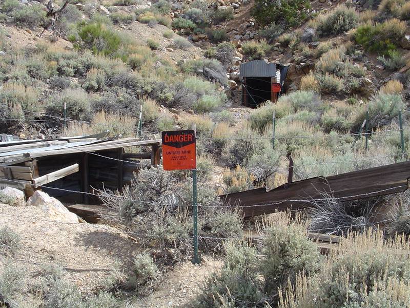
trip, the Nevada Divison of Minerals has already been there and done that. While there, they blocked off every adit and shaft
in the area with barbed wire and signs that said "Stay Out & Stay Alive". One had another sign that said "For Your Protection"
and someone etched into the sign, "We can protect ourselves thanks". Click Here for my first trip and to
compare photos of mines now closed.
The adventure starts at Highway 6 in Nevada at an old abandonned building that was once a brothel. The class 1 dirt road heads
up into the north end of the White Mountains called Queen Canyon and climbs to an altitude of about 9500 feet. Once at the
crest it drops down into a canyon known as Trail Canyon and very quickly turns to class 4. Once at the bottom it turns back to
class 1 and II.There are pinion trees gallore. A spring-fed lake is abundant with trout
and while I had my fishing pole with me I didn't have a Nevada license. Next time maybe. On the way out of the canyon, Jeff noticed
a rock and sod building in the distance. We explored the area and determined that it was either a horse or cattle ranch at one time
due to the barbed wire fencing and the size of the corral gate. Too big for sheep. We also stumbled upon an entire ghost mining
camp that we later determined to be the Redrock Mercury Mine and Camp. Well named as the whole area is covered with red dirt and rock.
With about a dozen or so buildings and a huge mill this little surprise
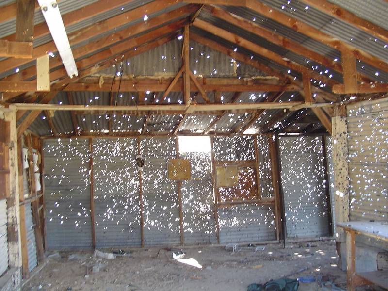
caused us to spend quite a bit of time there. I have seen buildings shot up before but one building in this place looked like swiss
cheese! Later I learned that the local police use this place for training. So in this case, I guess the cops are the bad guys.
This was an all day event and we didn't return untill
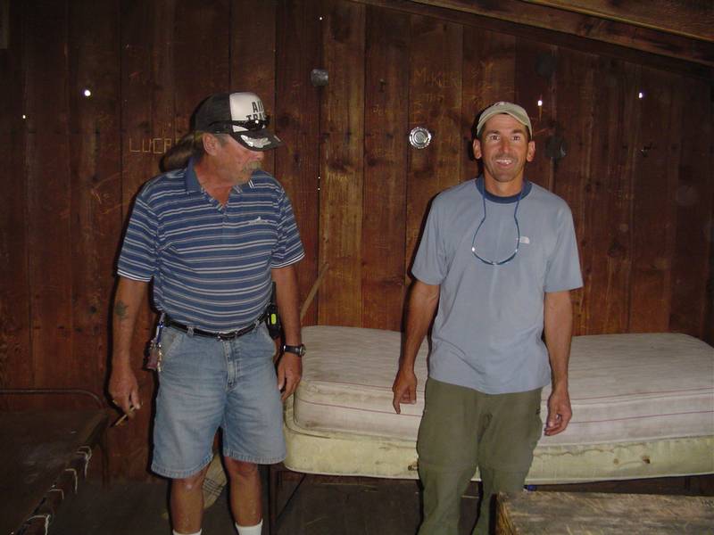
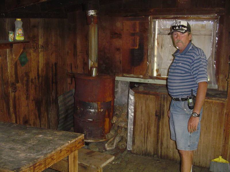
10:00 that evening. Of course we stopped in Dyer at the hot springs after which we stopped by the Dyer Bar to say hi to owner
Richard Woods and his wife. Richard spent 23 years of his life in the Tungsten Mine up Pine Creek. We wanted to explore the
tungsten mine but time just did not allow for it. I'll save that one for another trip.
For me, the rest of the week was spent on business. The others spent their time at camp or in town. Jeff had used this trip in
order to try out all the camping gear he was planning to use on a hike up the Pacific Crest Trail next summer. This was an
excellent opportunity for just such a thing. He broke down his tent every morning and set it back up in the evenings, always
in a different place. While Tim and I cooked our meals from scratch, Jeff was eating freeze dried foods to see which ones he
liked the best and which ones gave him the most nourishment for size and weight. Everything that Jeff used on this trip would
come out of his backpack. Quite a contrast to Tim and I with our comparatively huge sleeping quarters, solar generator, bug zapper,
propane bar-b-ques and TVs.
This is by far the biggest trip report I have done. I took way too many photos but then again, every one has a meaning. Out of the
217 photos I shot, only 3 were deleted. Many of the trips we did on this outing can be found in Roger Mitchell's Inyo Mono SUV
Trails. His very descriptive trip reports and directions help to get you where you are going without having to do a lot of research
on your own. But it still helps to have a map along. This was also my first trip with a GPS. We still don't know how to work the
thing completely and we still have to upload the TOPO maps to it. But at least we got some way points out of it. We also figured out
that we were on the proper trail once with it.
Tim was injured when his hand landed on a barrel cactus while tripping over a rock at the Reward Mine. As
I always carry a first aid kit, rubbing alchohol and hydrogen peroxide with me, we were able to remove all the quills,
stop the bleeding and clean the wounds very effectively. His hand was fine in a few days and it didn't even slow him down.
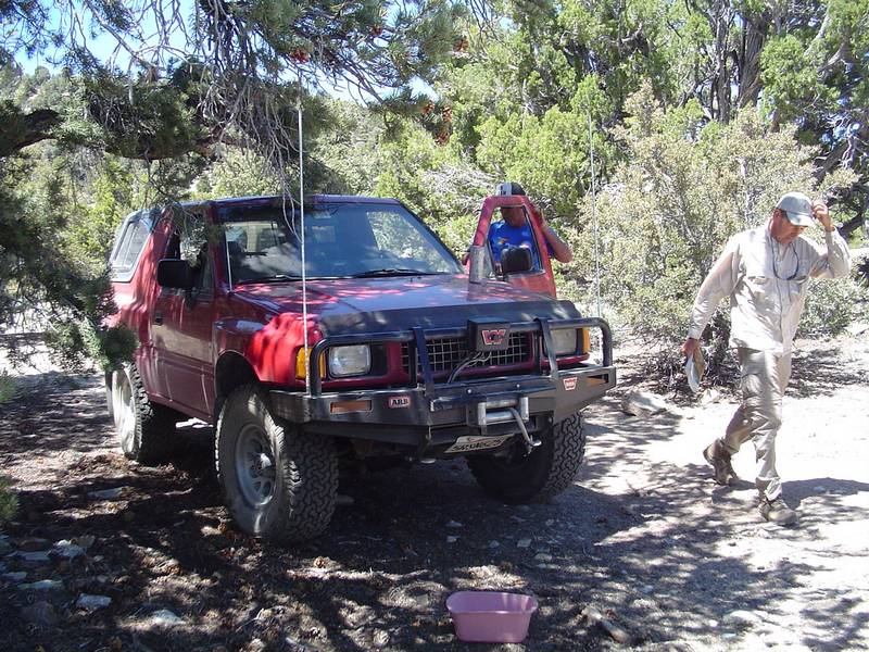
Tim also suffered a break down on the way back in Johanasburg in 110 degree heat at 4pm in the afternoon. We spent the next
three hours replacing fuel lines and vaccume hoses only to find out that he had just vapor locked. We didn't think of that
because we thought that the Izusu Amigo had fuel injection. Turns out that it is just a fancy carburator with some kind of
fuel mister... By the time the sun had set we were off and on our way again. The rest of the trip home was fairly
uneventfull untill the end. Not 200 feet from my driveway, at 10:00 at night on a very dark street in Perris, someone ran
out in front of me and stopped there like a deer on a lonely mountain road. The idiot just
stood there waiting for me to run him over and then all of a sudden at the last possible moment he darted out of the way.
I would have killed him for sure if he hadn't. The next day I learned that this very disturbed individual was suffering from head trauma from an accident and was arrested
for running out in front of trucks on the same road later that night. He was taken to the hospital for treatment and
observation.
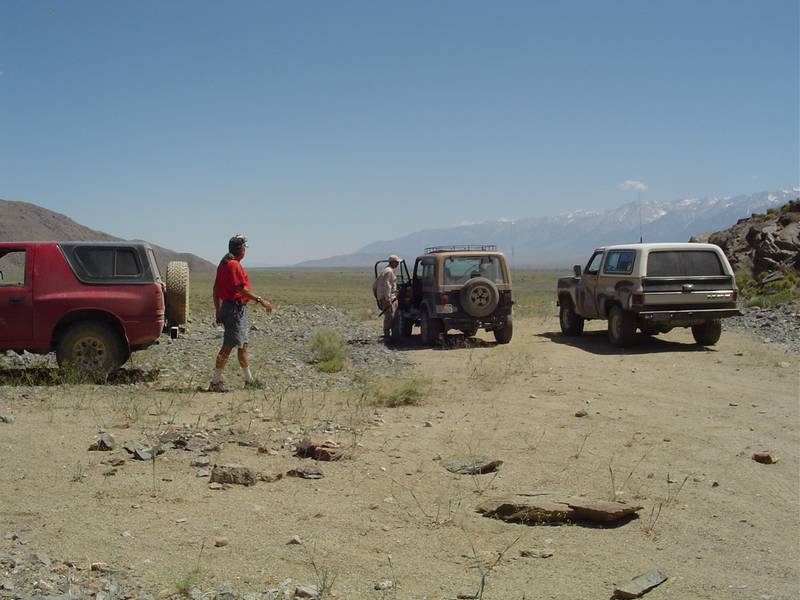
All in all we put allmost 1300 miles on our vehicles. Considering that it is 600 miles round trip to Bishop we put a lot of
those miles on the dirt! Gas was lower than expected for a change. While you folks were paying $3.25 to $3.35 per gallon
in the citys, we only payed $2.97 in Bishop at the Piute Gas Station. I hope you enjoy my report
as much as I enjoyed creating it. This trip is one for the books.
|
 |
 |
 |
 |
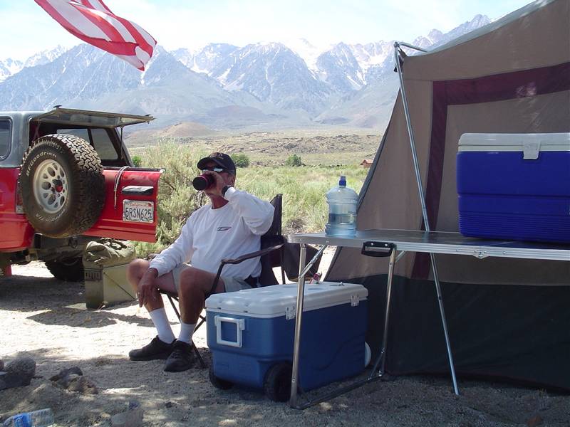
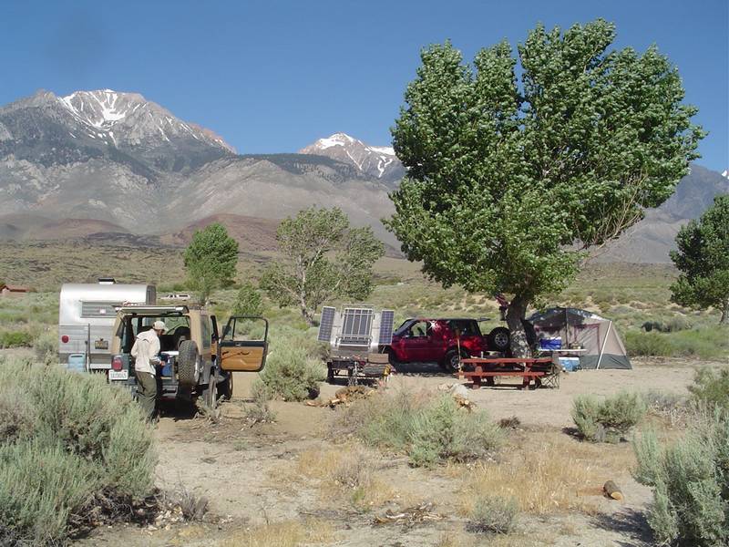
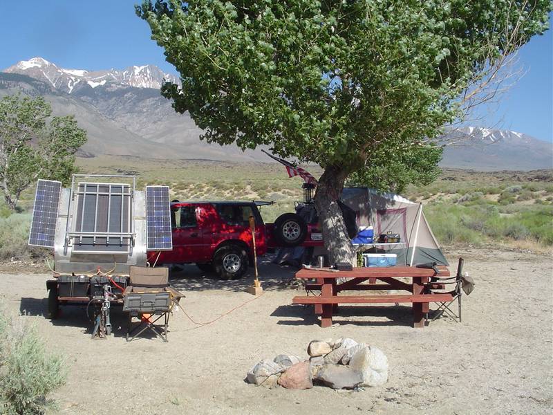
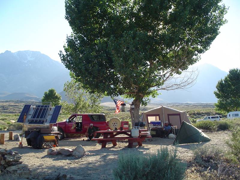
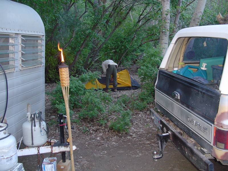
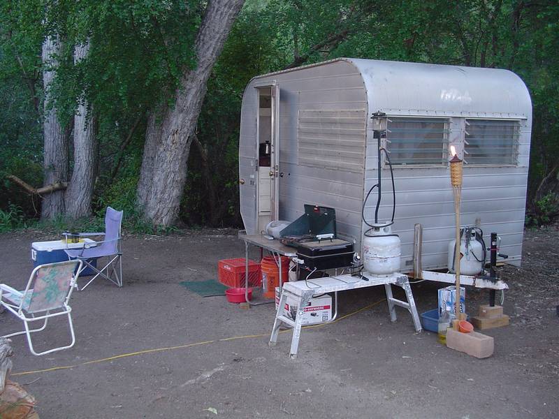
| Tim takes a break after setting up his tent at Goodale Creek Campground. | Nate (Lepidium) and his wife Riannah visit the campsite. | The site begins to take shape. | I give the power a test. Oh a wise guy eh? |
 |
 |
 |
 |
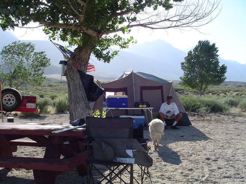
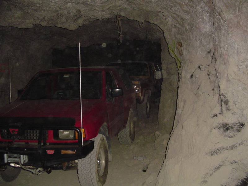
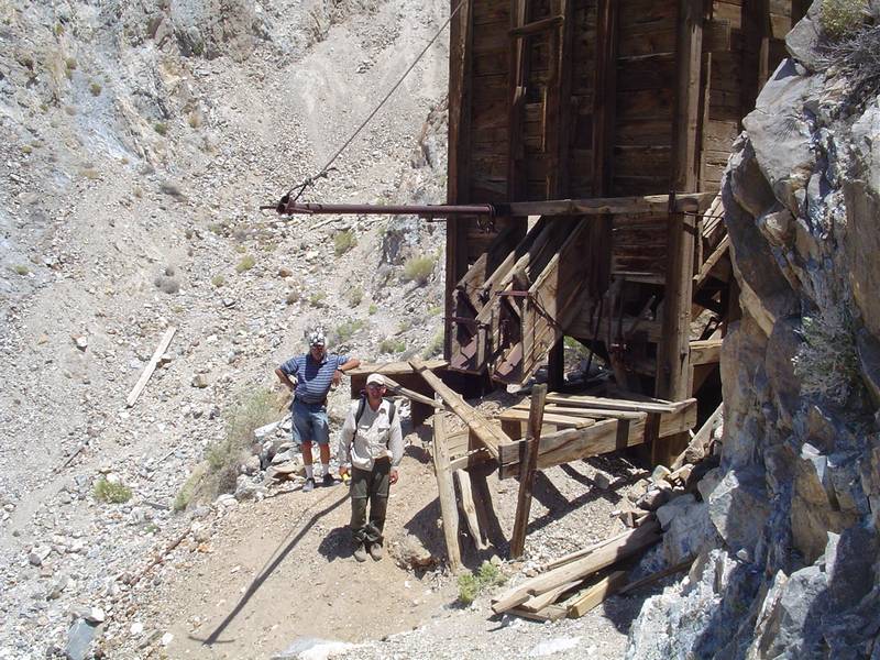
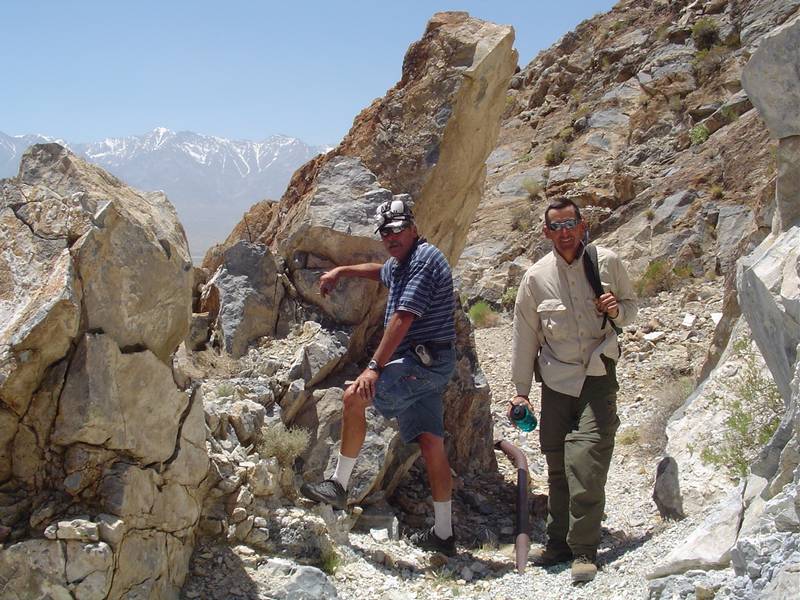
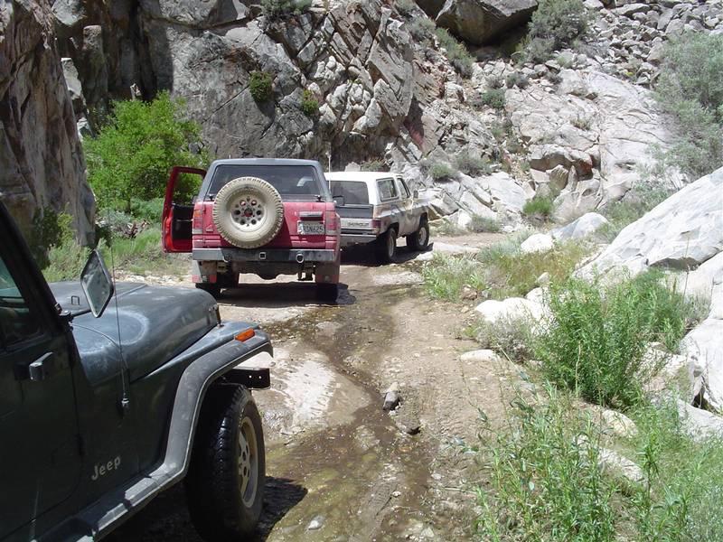
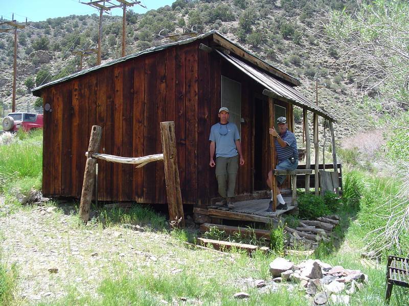
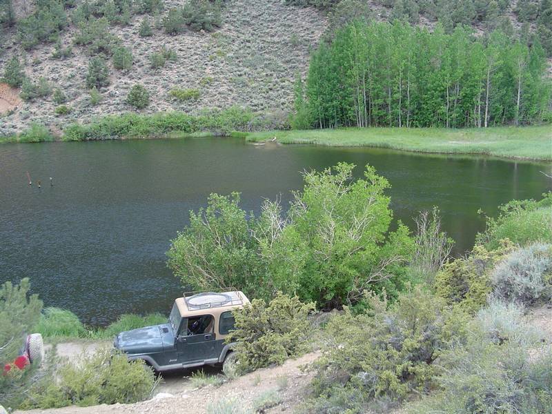
| Jeff unloads his backpack. He's set up in less than 3 minutes. | Kinda looks like the Mars Rover! | Vallet Parking inside the Reward Mine. | Jeff is astounded at the idea of driving into a mine. |
 |
 |
 |
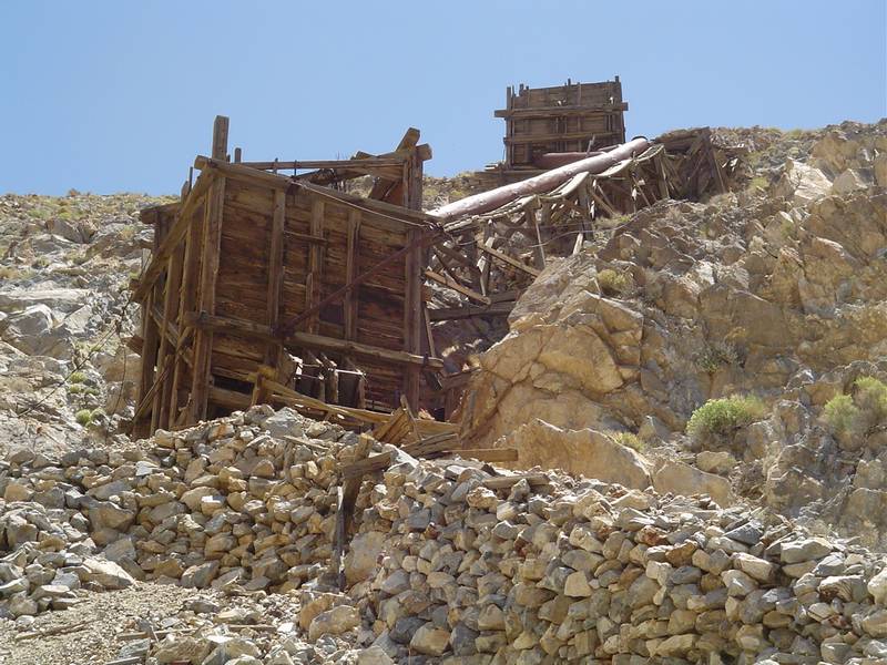 |
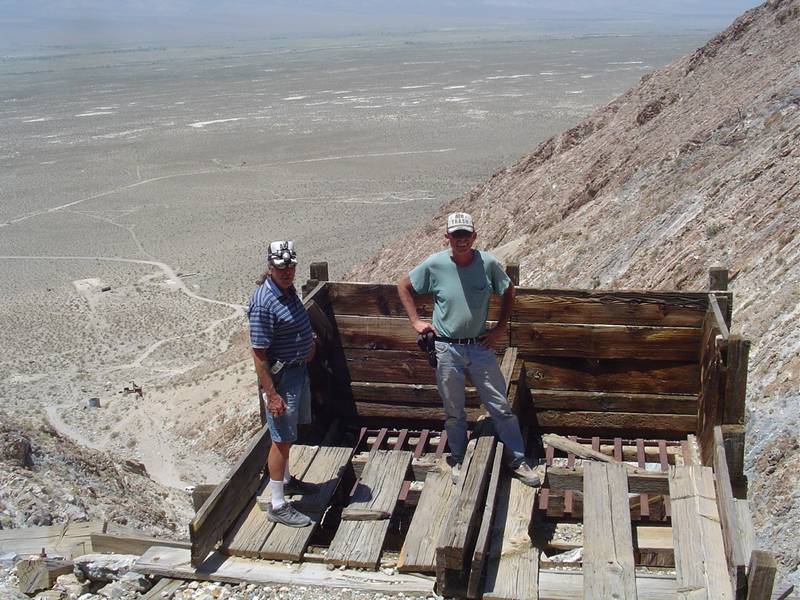
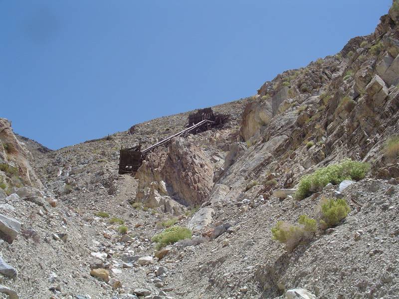
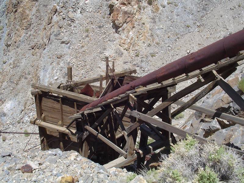
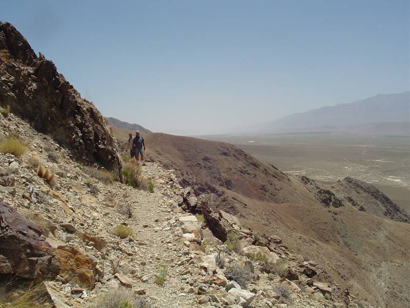
| We take a break. | Another look at the vehicles. | Once outside, I begin the hike up to the upper ore bins and chutes. | Arriving at the foot of the bins I notice the rock retaining wall being used as a foundation. |
 |
 |
 |
 |
| I'm not sure what the outrigger is for. | Another view. | The cable pulleys still rotate. | Another view. |
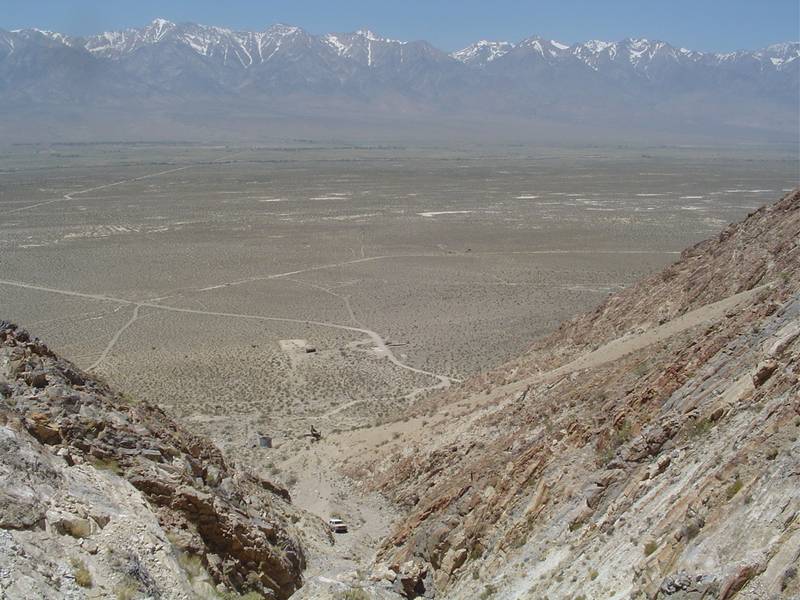 |
 |
 |
 |
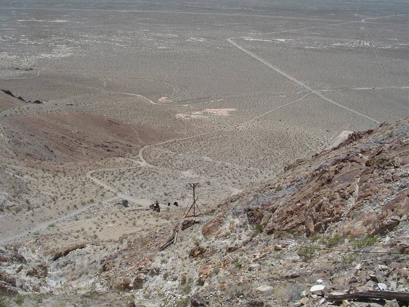
| I take a look back across the valley floor. The view is spectacular. Notice my Blazer below. | Tim and Jeff say CHEESE! | A look at the chute from one ore bin to the other. | View from the other side. |
 |
 |
 |
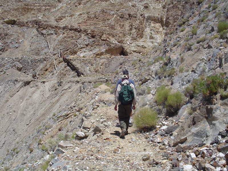 |
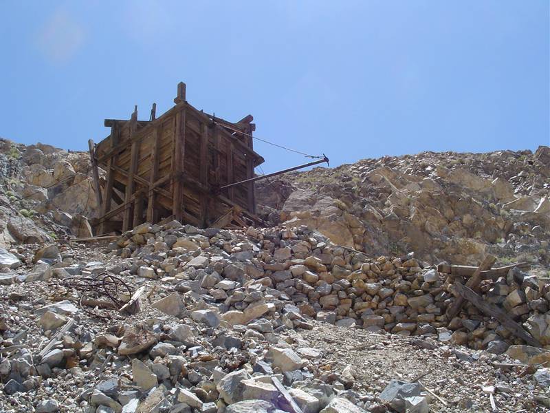
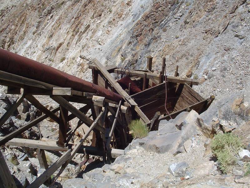
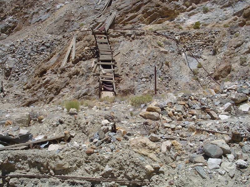
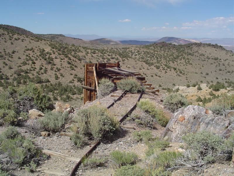
| Looking up to the priamry bin. | This catwalk looks a little scarry. | Here is a secondary bin next to the primary one. It has a steel screen to size the ore and another chute. | We find a trail that leads around the top of the mountain and many holes along the way. |
 |
 |
 |
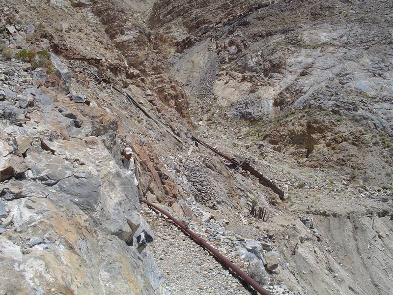 |
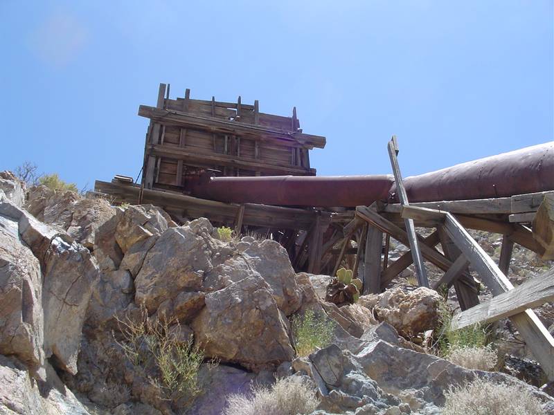
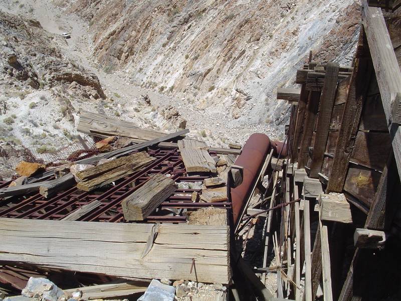
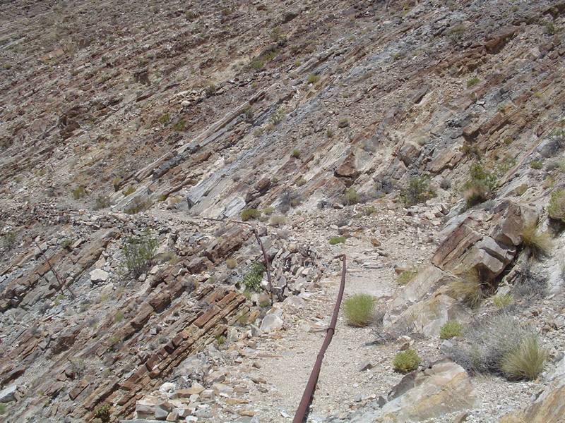
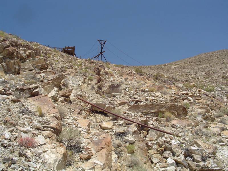
| Ore cart tracks sticking out of an avalanch of rock and debris. | More of the apparent avalanch. | The trail leading from one ore bin to the other and the start of the one we are currently on. | A compressed air pipe that follows the trail to all the other adits. |
 |
 |
 |
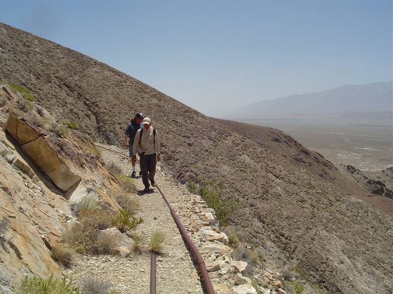 |
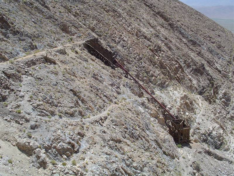
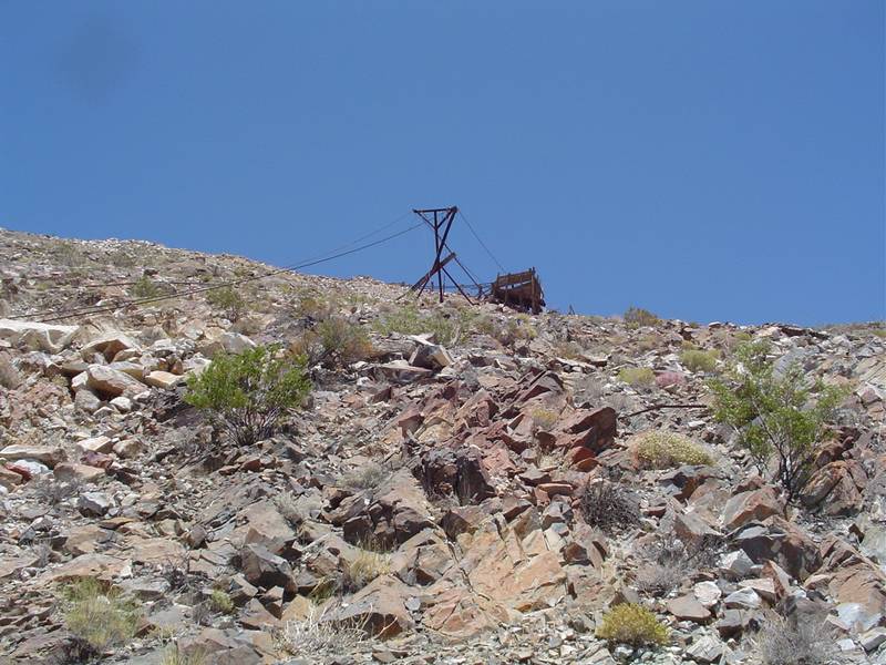
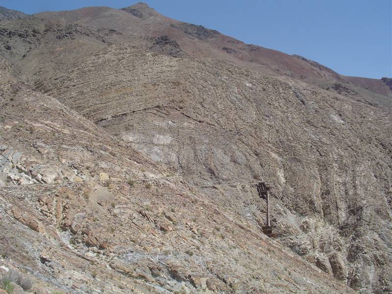
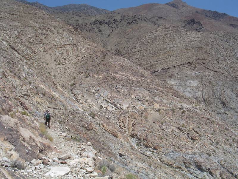
| Heading around the mountain we find another set of ore bins that finish up with a tram to the bottom. | Another adit. | Another view of the trail and air pipe. | We continue along the trail. |
 |
 |
 |
 |
| We get closer to the second set of bins and tram. | The tram is in ruin but the path is clearly marked by the downed cables. | The trail keeps going and going and going. It eventually leads to above the main adit that we drove into earlier. | We rest at the end of the trail. Jeff goes up to recon the ore bins and tram. Tim and I are too tired to continue. |
 |
 |
 |
 |
| A look back at the starting point of the trail. | We start back. | I grab another shot of the tramway. | Taking another break in the heat of the day. |
 |
 |
 |
 |
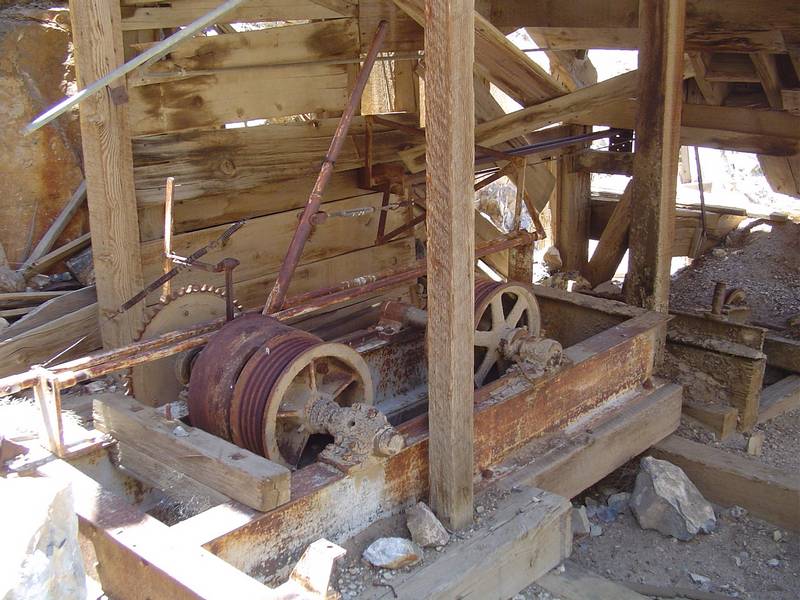
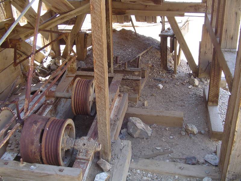
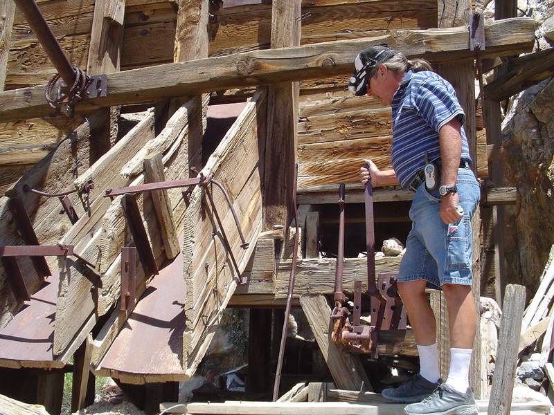
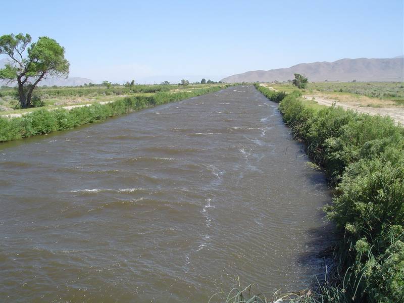
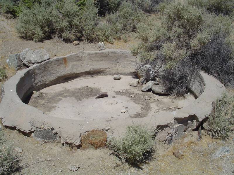
| Tim plays with the handles on the ore bin. | Shortly after Tim falls and lands his hand on a barrel cactus, we remove the quills and head down to the truck for fist aid. | This part of the Owens River shows just how windy it was as the waves crest against the flow. | In Lower Mazourka Canyon we find an unusual method of milling. This is some sort of concrete catch basin. |
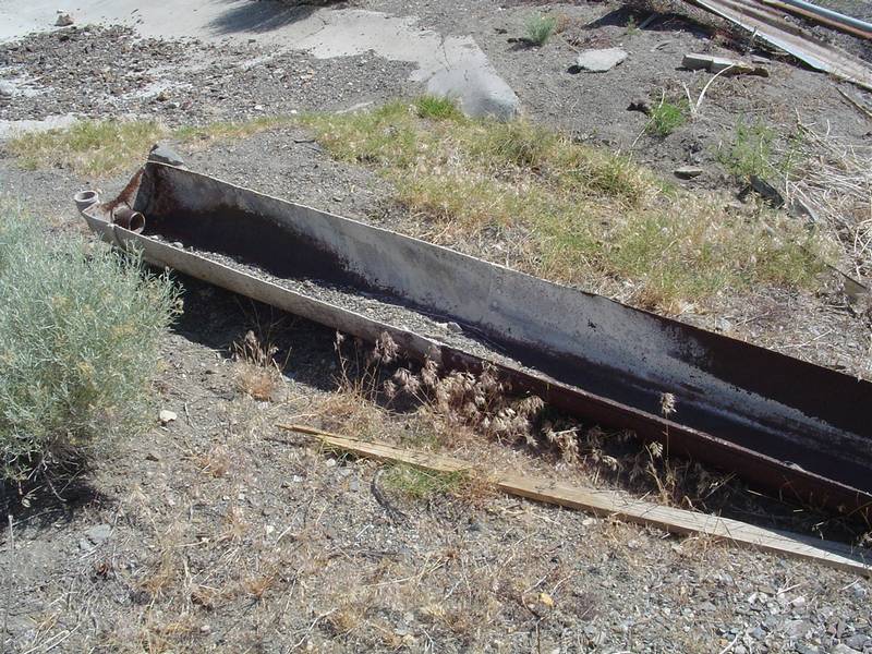 |
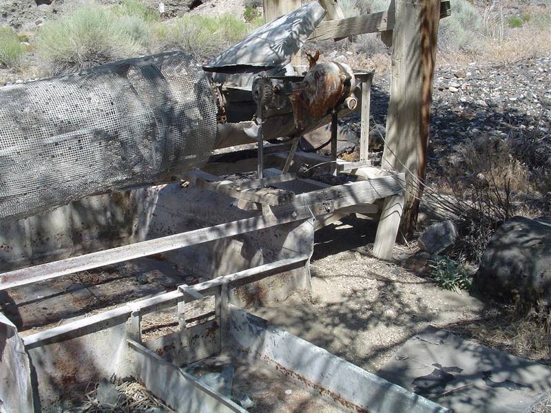
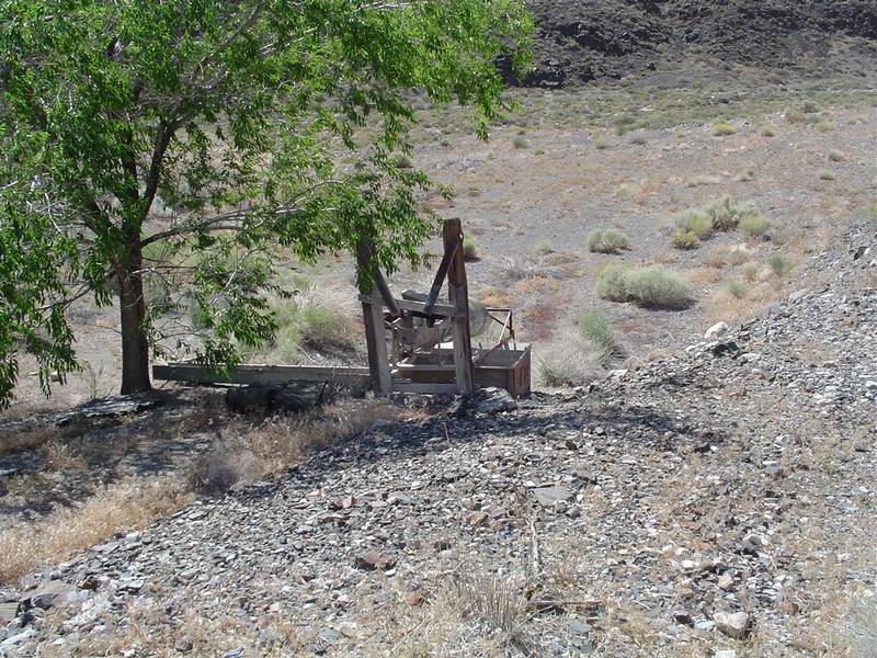 |
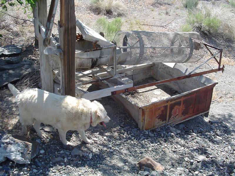 |
 |
| It seems the material is then washed down this troth on it's way to the mill. | The mill. | The material is further reduced and then passes through this spinning screen into what used to be a small truck bed. | Another view of where the material enters the milling machine. |
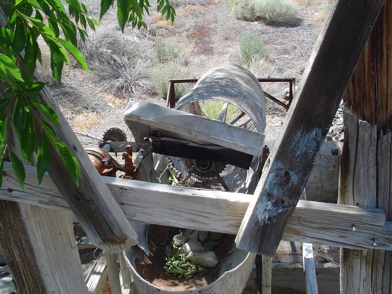
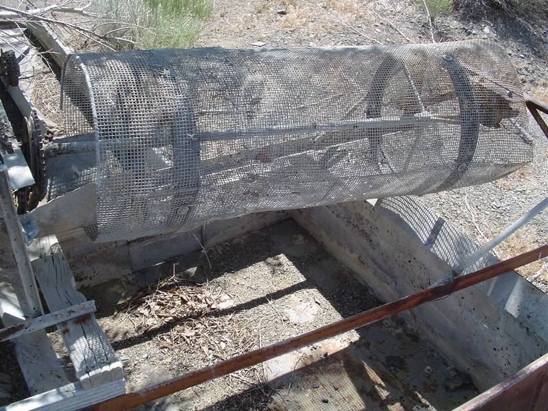 |
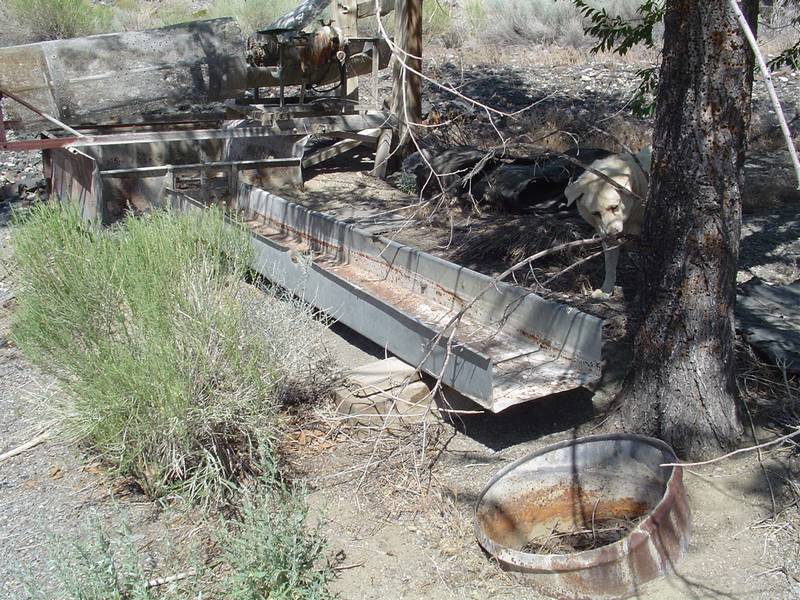 |
 |
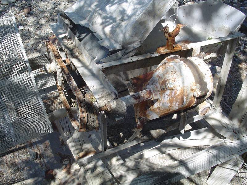 |
| The spinning screen device. | Once through the screen the material ends up in another troth where I immagine pan washing was the next step. | Another view. | Close up of the still working driveline. |
 |
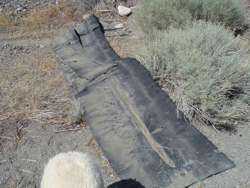 |
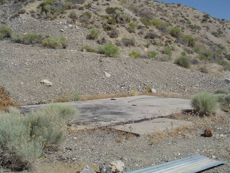 |
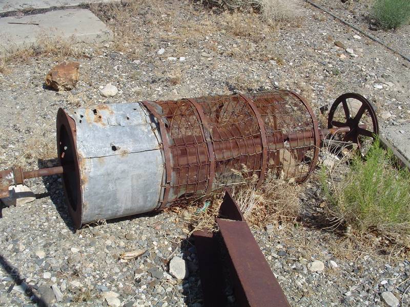 |
| This strip mine is where the material came from. | We found a few of these rubber mats lying around. I think they were liners in the troths. | A nice cabin once stood here untill it was burned to the ground. | Another spinning screen device. Was this a backup or for a different grade of ore? |
 |
 |
 |
 |
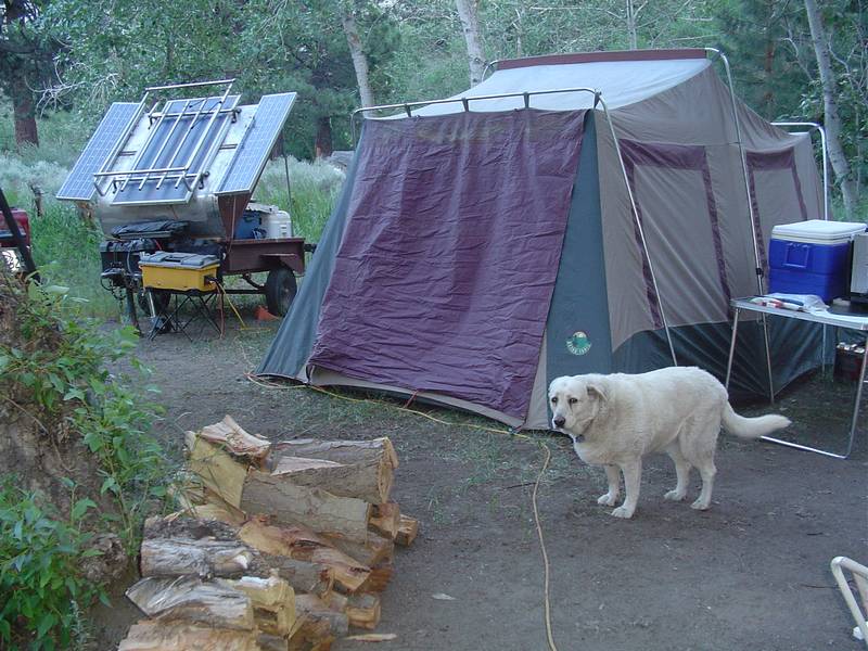
| Azurite | OK! Time to charge the radio... | Heck, let's charge everything! | Tim must lay the tent down each day so the wind doesn't do it for him. |
 |
 |
 |
 |
| This thing turned more than a few heads in the campgrounds. | Airing down for the trip up Wyman Canyon. | Before we head up, we take a look back towards Deep Springs. | Tim and Jeff lend some size to the reduction furnace at White Mountain City. It's a little shorter every time I visit. |
 |
 |
 |
 |
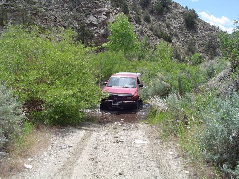
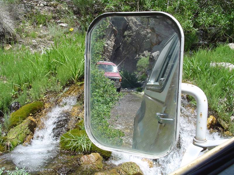
| Tim airs down even more. | A whip tail lizard that I encountered on the trail. There were two but only this one stopped to have his picture taken. | The first of the many water crossings of Wyman Creek. | Jeff makes the crossing. |
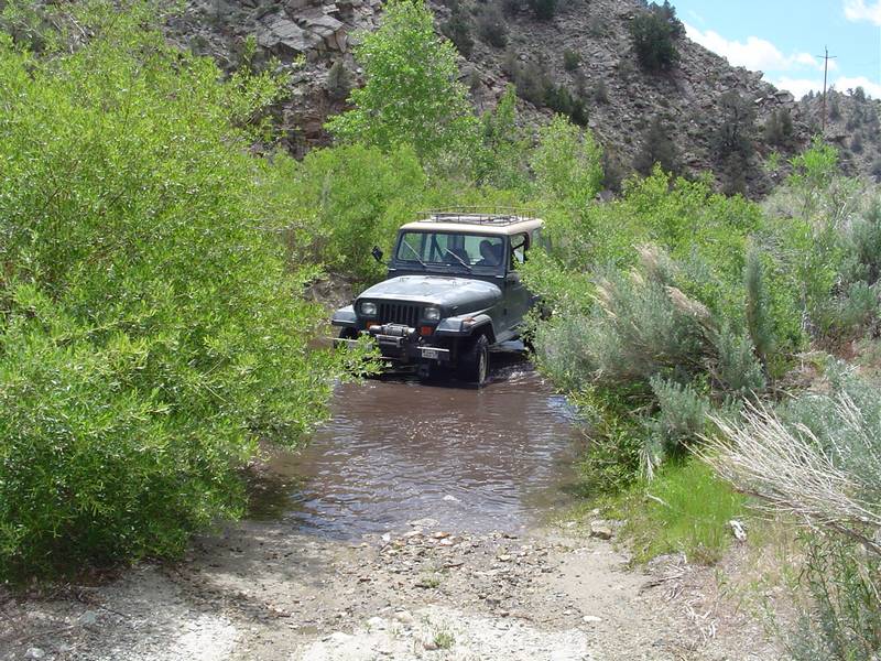
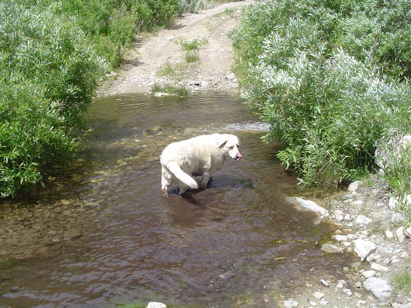 |
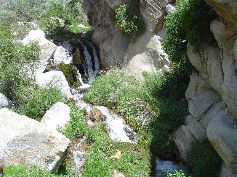 |
 |
 |
| Tabby takes her time as she just loves the water. | A small waterfall along the side of the road. | The trail is very scenic. | Water, water and more water. |
 |
 |
 |
 |
| This looks like a good place to stop for lunch. | What in the heck did I bring all this water for? | Another view of our break area. This would be a great place to camp. | Back on the trail. I think we need a boat... |
 |
 |
 |
 |
| We take a look at the cabin at Robert's Camp. | Tim checks out the wood burner. | What a great front porch! | There is a corral here for the horses. |
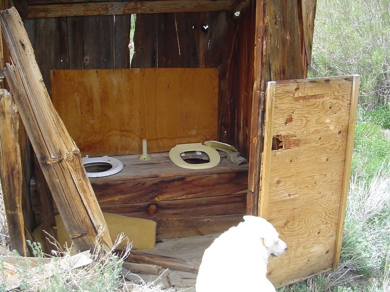
 |
 |
 |
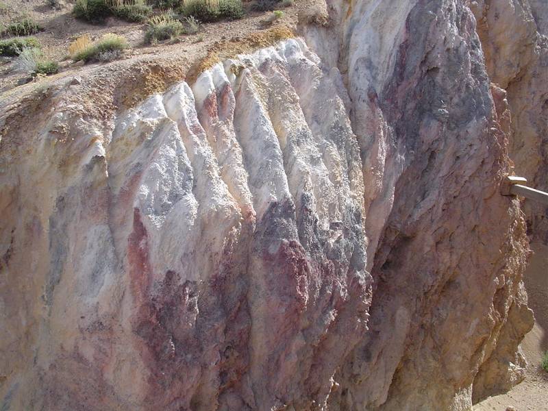
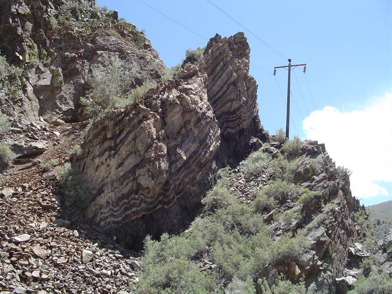 |
| The crapper has been knocked over. | It wasn't like this last year. | Back view of the cabin. | The geology is spectacular. |
 |
 |
 |
 |
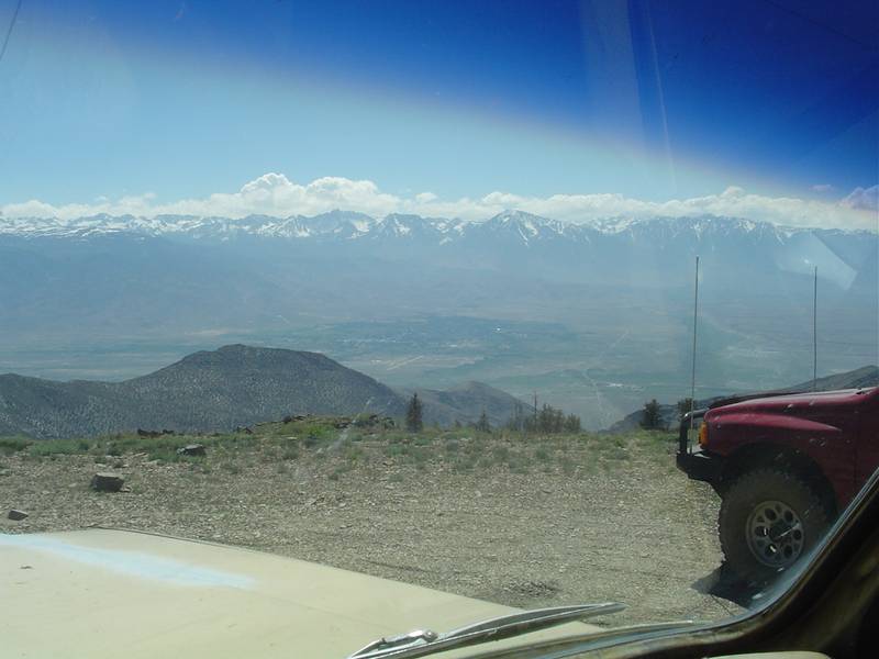
| Power poles line the canyon all the way up. | At the top, we pause below Silver Peak to take in the view. The wind is around 60 mph. | Through the windshield we see Bishop below. | Back at camp we hook up the bug zapper. It's just a little windy now. But the wind will return tomorrow. |
 |
 |
 |
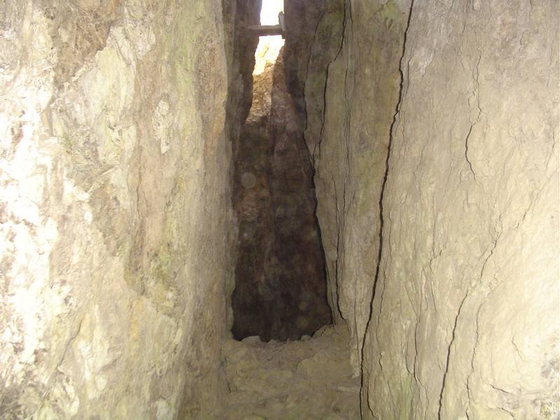 |
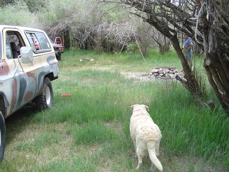
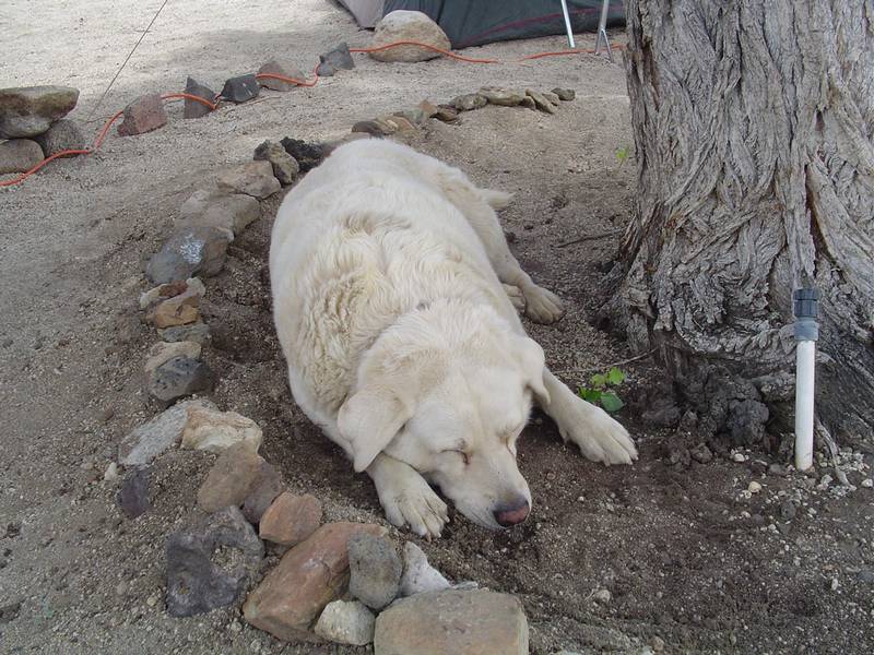
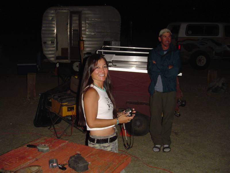
| LuckyPabst (Chris) stops by the campsite for an overnight visit and checks out Tim's solar generator. | Tabby takes a nap in the cool damp dirt under the tree. | Ready for a feast! | Along the Eastside Road we find a sunlit stope in the San Carlos Mine. |
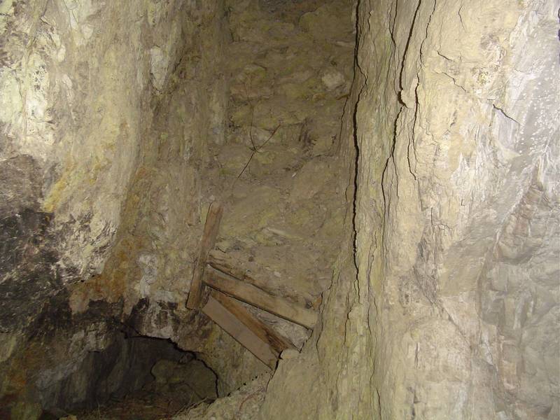 |
 |
 |
 |
| There is a hole in the entrance of the stope to another level. | Another adit at the San Carlos. | The ants seem to have thier own mining operation going... | Out on recon on a side road up to Crystal Ridge. I look for a turn-around spot. |
 |
 |
 |
 |
| The view from Crystal Ridge. | I radio for the guys to come up. Tim climbs over the top. | Jeff is next. Not much up here really. | Jeff goes out on a small road to see if there is anything worth looking at. |
 |
 |
 |
 |
| He returns with nothing more than a smile. | Someone camped here for a while. We later learned that this person did some mining here. | This adit is blocked because of a very deep hole at the entrance. | A view from farther away. |
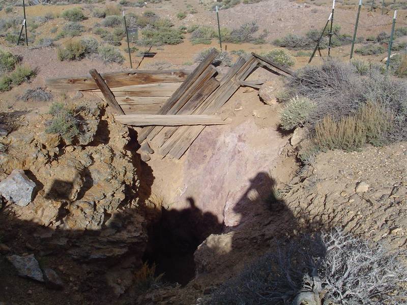
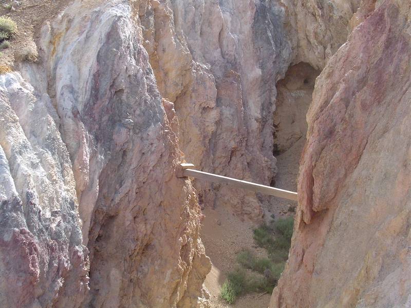
 |
 |
 |
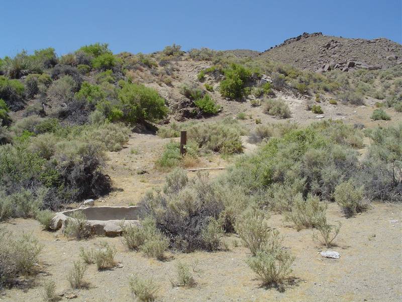
 |
| A plank across the pit. I wouldn't walk on it though. | Another view into the adit. | We find this arrastre towards the end of the Eastside Road. Someone ran a milling operation here. | My truck lends some size to the arrastre. No drag stones were found. |
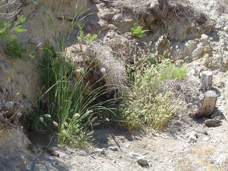 |
 |
 |
 |
| This was the spring that fed water to the arrastre. | Another view of the mill site. | Up another side road we find this huge strip mining area. | An old claim marker. |
 |
 |
 |
 |
| Ore is everywhere. | A 3 inch test core was drilled here. From the sound of a rock being dropped in, it was about 10 feet deep. | Closer view of the ore. | Tailings pile of the Black Jack Mine. |
 |
 |
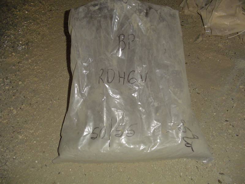 |
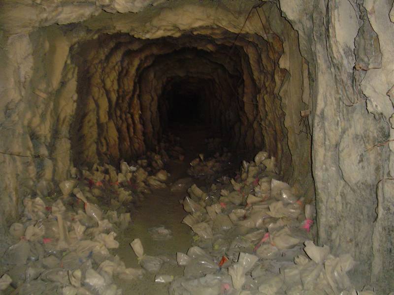 |
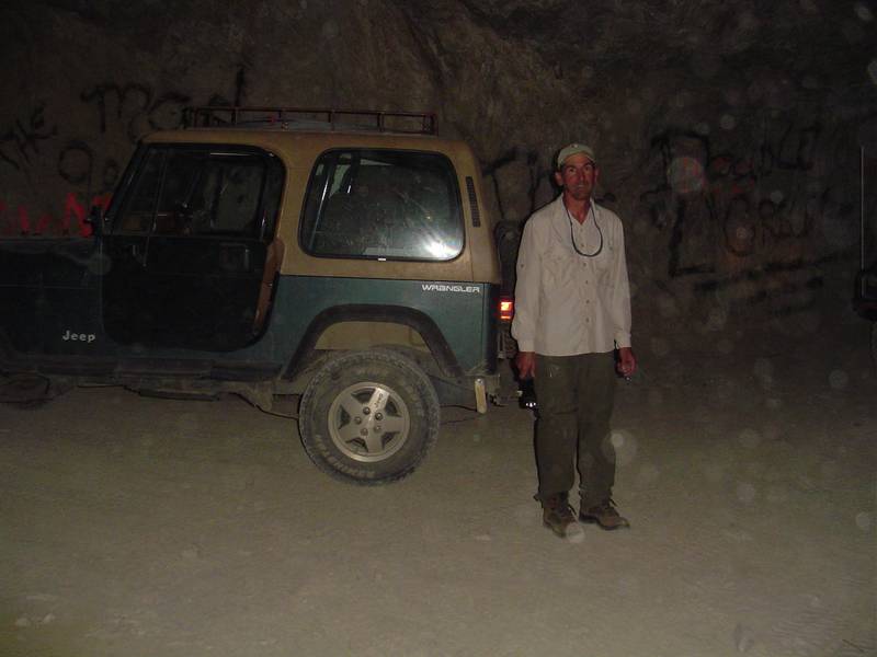
| Black Jack adit. | View of the valley from the Black Jack. | A sample bag in the adit of the mine. | There were hundreds of these lying in the entrance of the tunnel. |
 |
 |
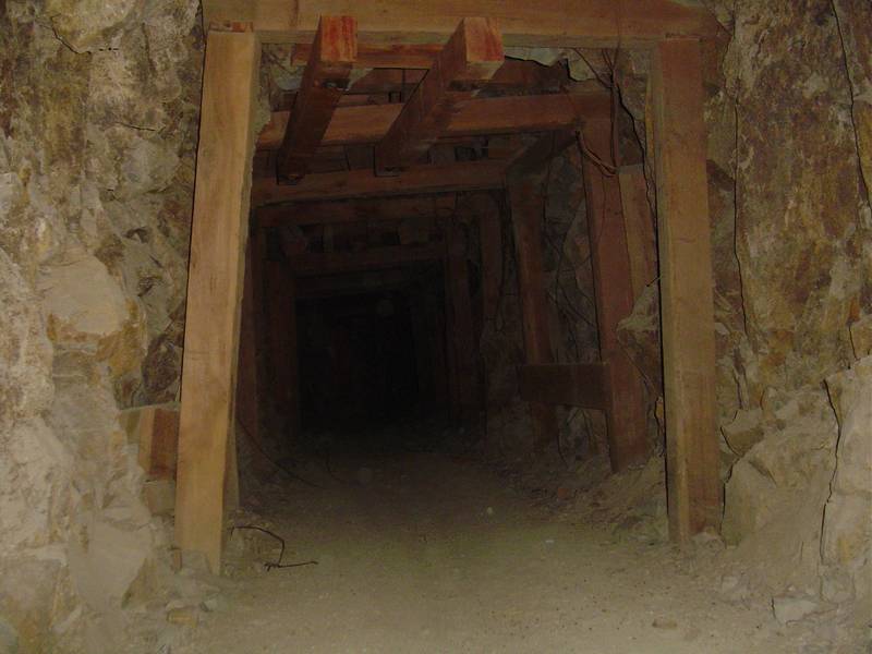 |
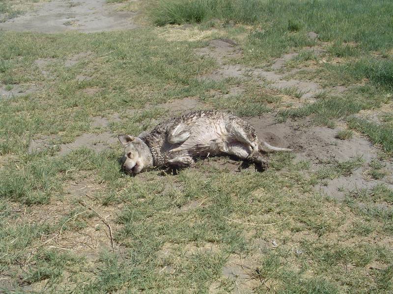 |
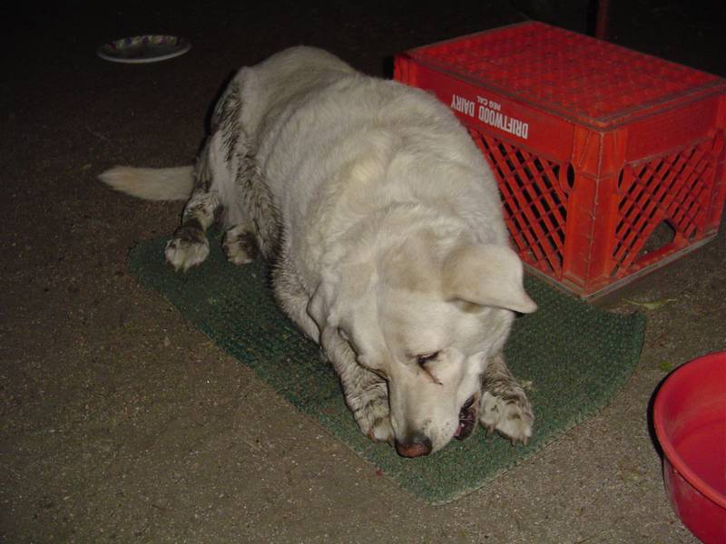
| We begin walking through the tunnel which goes all the way through the mountain. | It seems never ending. | We find that timbers were installed where there were previous cave ins. We decide it is not safe and leave. | A short stop at the river for fishing and a wet Tabby decides to roll in the dirt. |
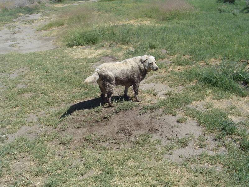 |
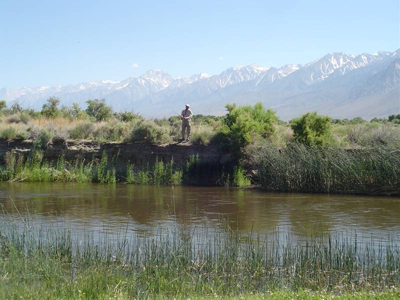 |
 |
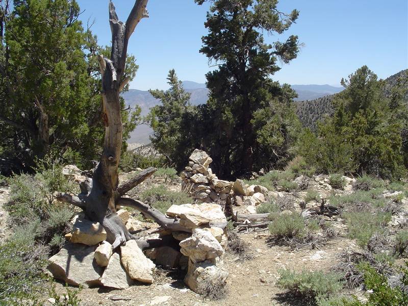 |
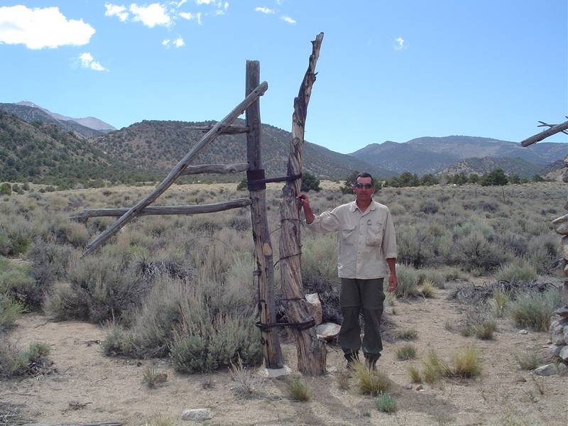
| A very dirty dog indeed. | Jeff fishes the muddy water of the lower Owens River. | "Hey buddy, can you spare a carrot?" | We find ourselves at the top of the Mollie Gibson Canyon. A strange campfire ring holds up a dead tree trunk. |
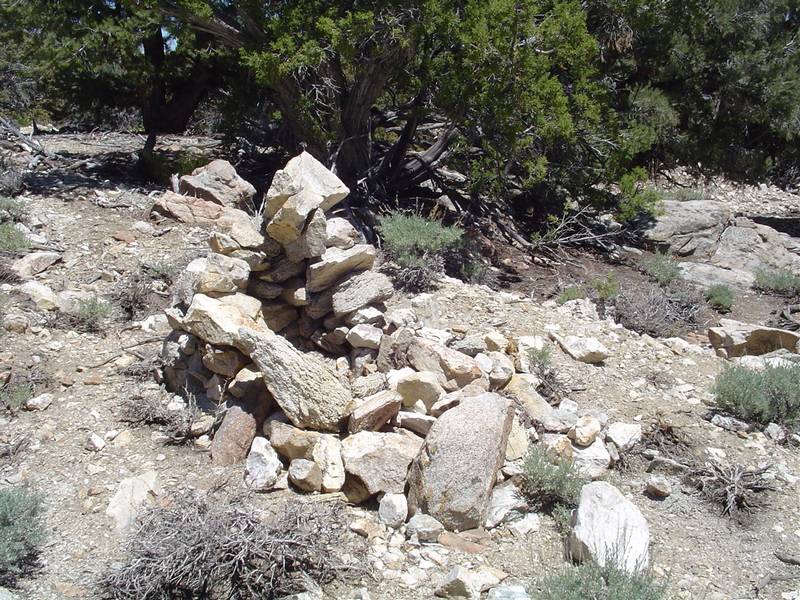 |
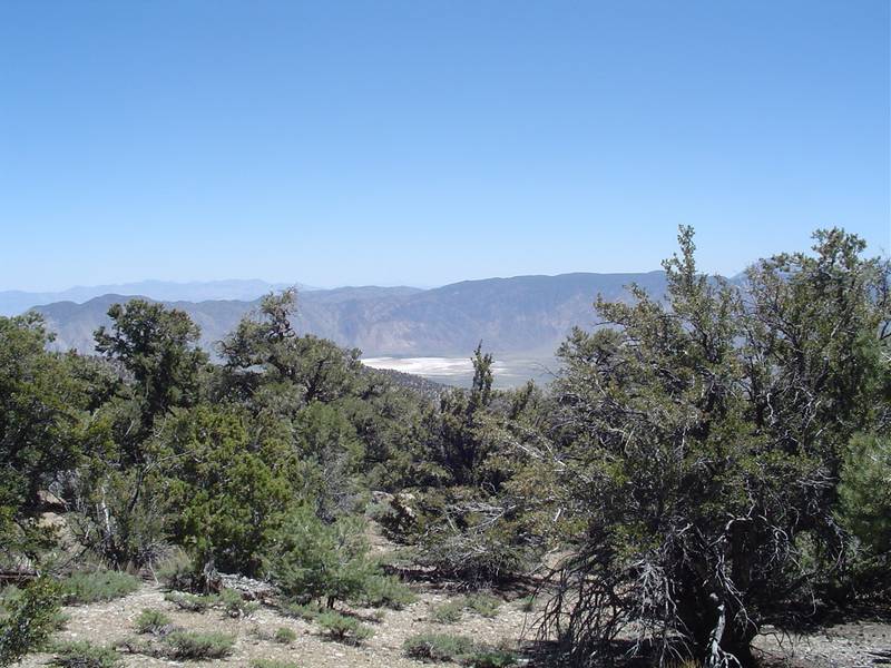 |
 |
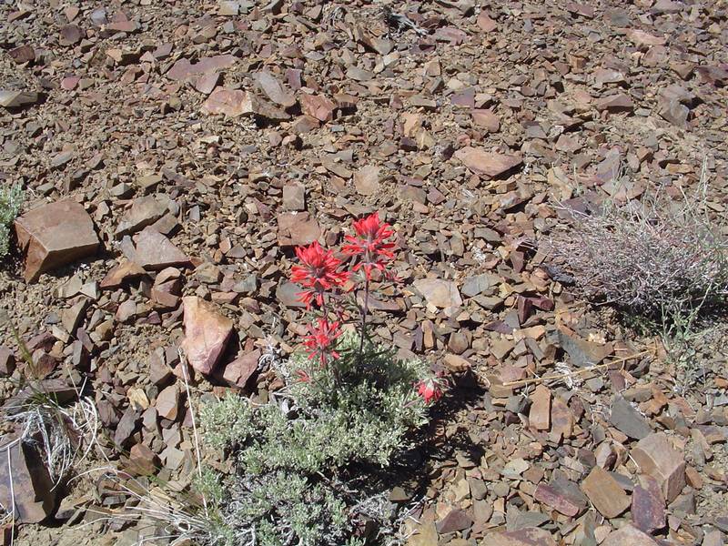 |
| Another strange looking campfire ring. We have missed the right turn to the mine. | In search of the Mollie Gibson Mine, we find a view of Deep Springs. | We decide to take lunch in the shade and check out our GPS readings. | Indian Paintbrush lines the road down. |
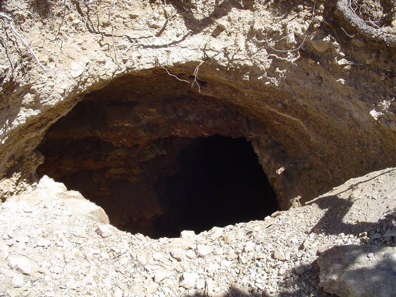
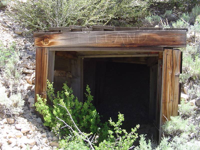
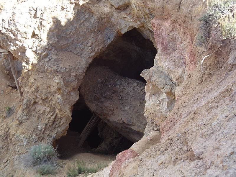
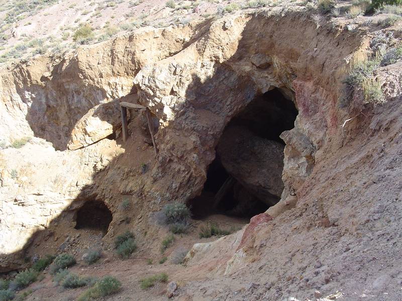
 |
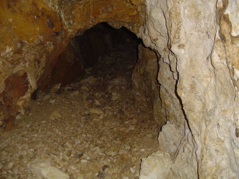 |
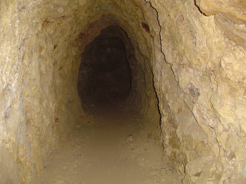 |
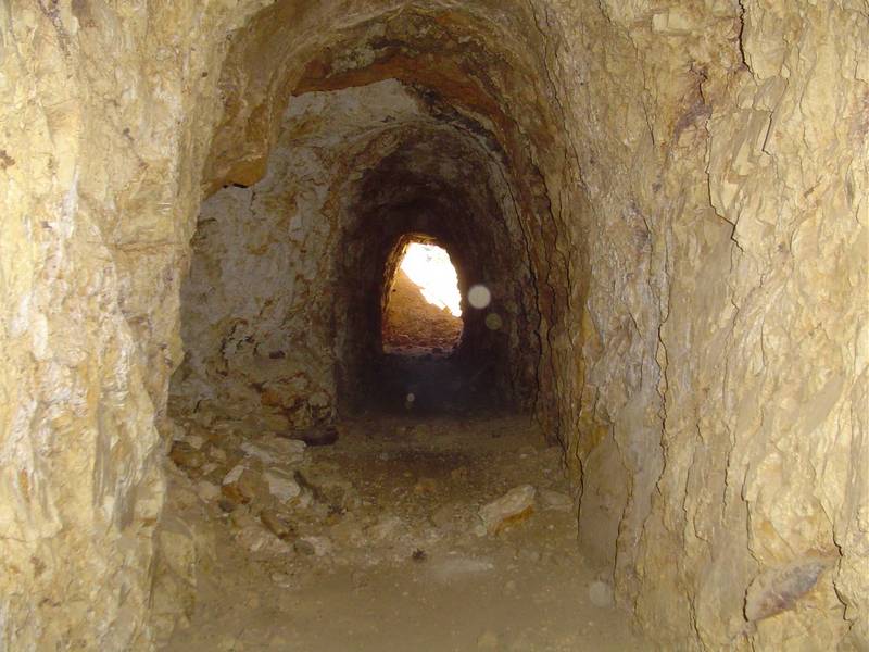 |
| We find the Mollie Gibson Mine. | A caving drift heads off to the right. | Looking towards the end of the mine. | Inside looking out. |
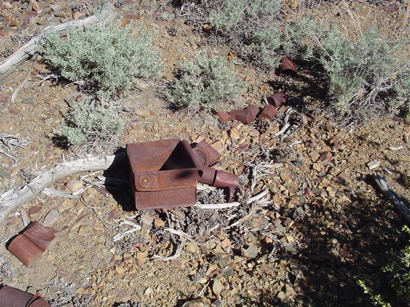
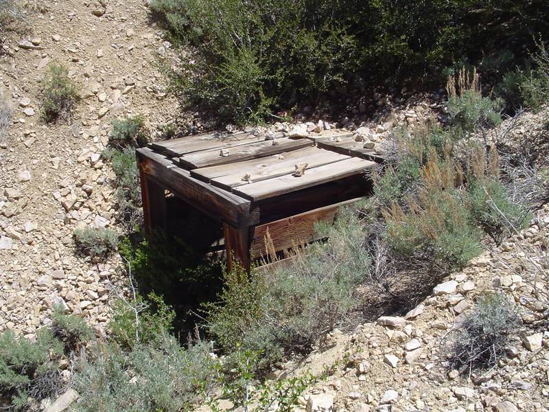
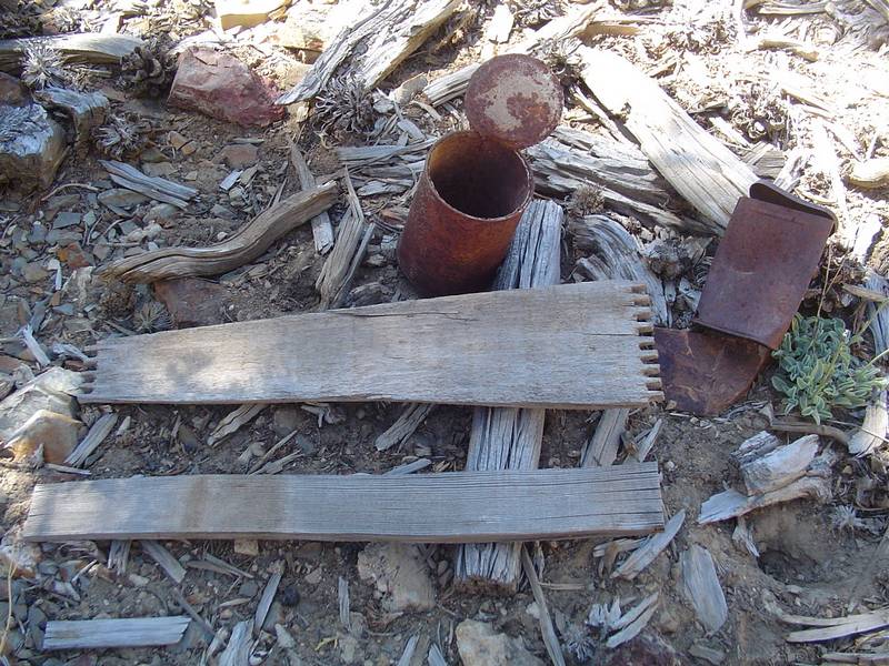 |
 |
 |
 |
| Part of an old wooden dove-tailed box and some cans. There was supposed to be a huge can pile somewhere here. | The caving adit to the Mollie Gibson Mine. | Tim stands on the tailings pile. | Looking out over the end of the tailings pile, Jeff faces the camera. |
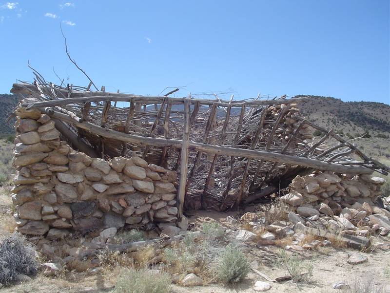
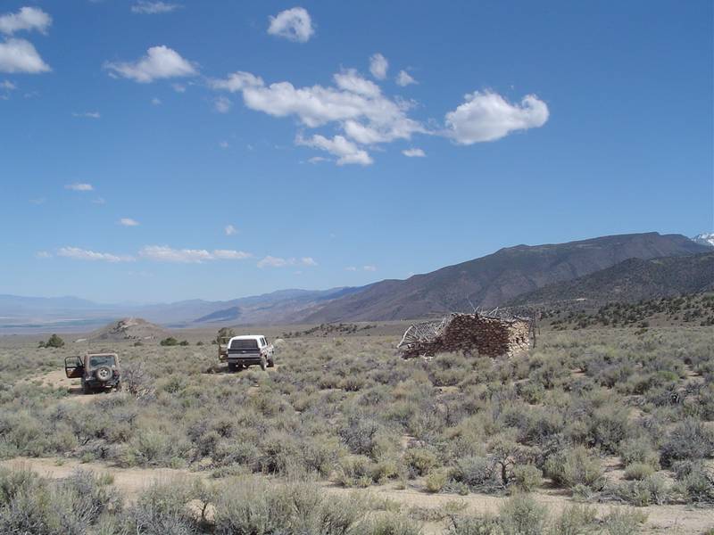
 |
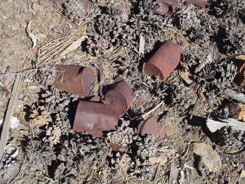 |
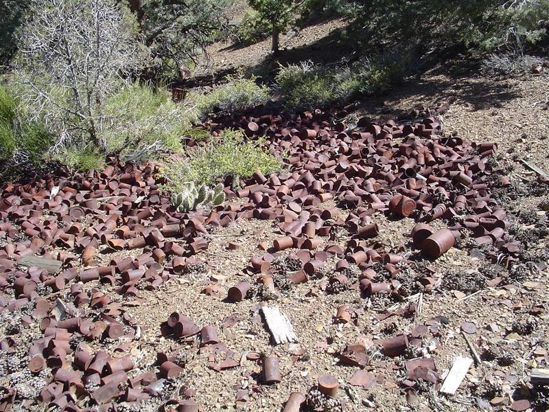 |
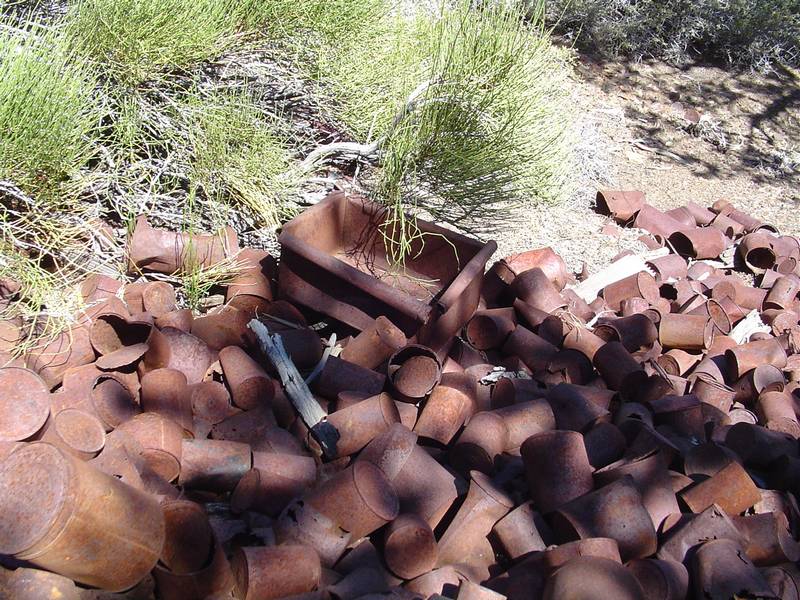 |
| This shot of the tailing dump shows that little has changed since Mitchell was last here. | These cans tell me that I am near the huge can dump that Mitchell described in his book. | And here it is! It runs halfway down the hill. | Amidst the pile we find altered cans for use as containers. |
 |
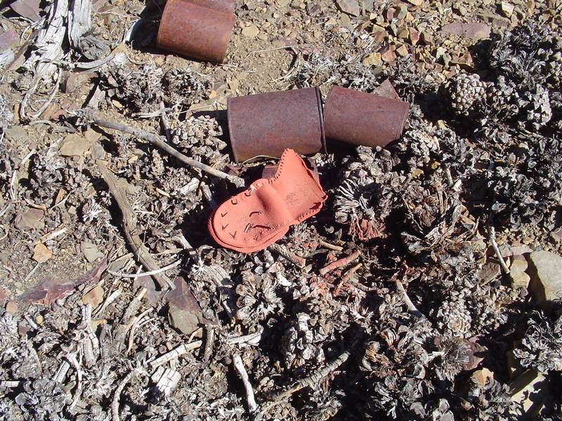 |
 |
 |
| Another altered can. | The sole of a shoe or boot is found amongst the cans and the trip to the Mollie Gibson is at an end. | A short trip up Onion Valley reveals a waterfall. There is a crowded pay campground at the end of the road up here. | A very steep stream cascades down from the lakes above on the other side of the canyon. |
 |
 |
 |
 |
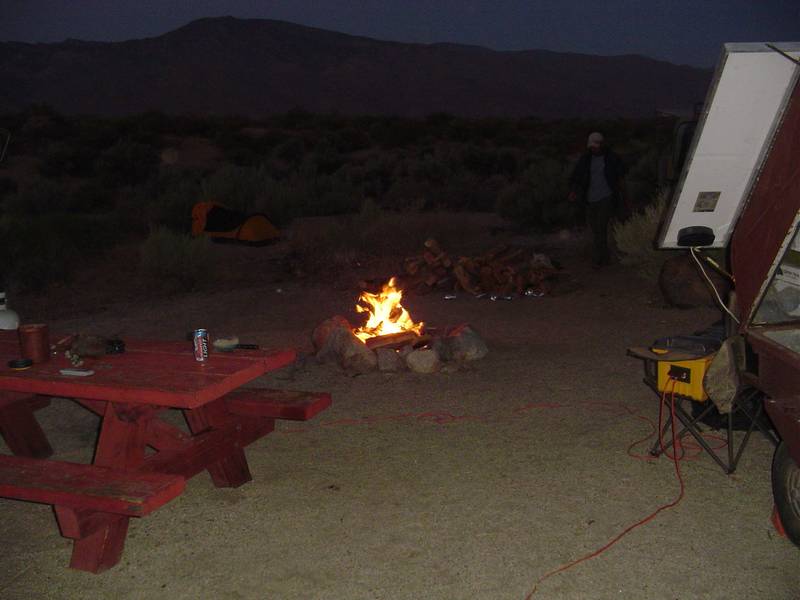
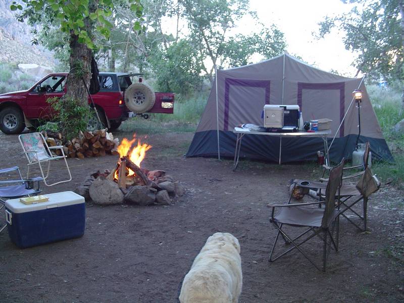
| Back at camp the wind is finally giving us a break. LOL! Just in time for us to head up north. | We finally have our first campfire since arriving with a truckload of wood a week ago. | Fire Man finally gets to do his job. | We have a wonderful surprise visit from Snow Nymph! She sets up her camera for a group photo. |
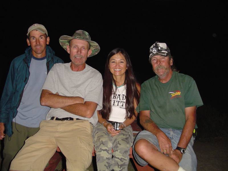 |
 |
 |
 |
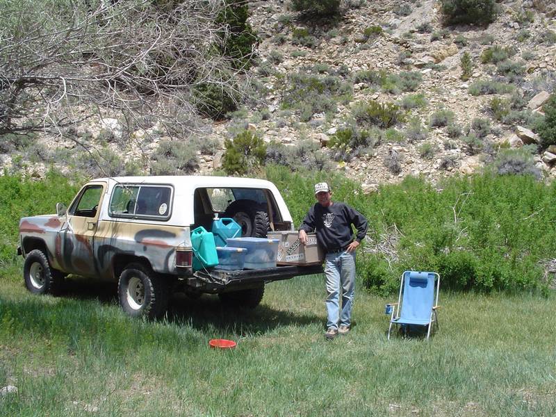
| Our group photo | Snow Nymph readies her camera. This is our last night at Goodale Creek. What a way to end the week! | First night at Pine Creek. Jeff sets up his tent. By the end of his trip he has decided this tent is not good enough for the PCT. | Ready for a nice cookout at our new campground at 7000 feet. |
 |
 |
 |
 |
| The "SolGen" is set up, the wood is piled and we are very comfortable. Um, Tabby says "Where's my dish?". | "I still don't see my dish guys...." | "Let's see now. Where's that kitchen sink?" | Our final and most exciting road trip finds us at the main camp of the Buena Vista Mining District in Queen Canyon, Nevada. |
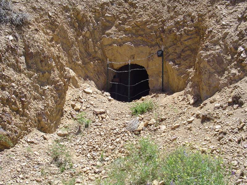
 |
 |
 |
 |
| Off of a side road we find an adit that is not blocked by the Nevada Division Of Minerals fencing. | It was most likely missed because of being hidden from the road behind scrub brush. It is caved just 15 feet back. | We decide that this is a good place for lunch. Janies Ranch is visible on the valley floor in the background. | Looking NW I believe we see Mammoth and Glass Mountains. Need a bigger map to make sure. Janies is at the intersection in the valley below. |
 |
 |
 |
 |
| Tailing dumps are everywhere on the way to to the top. Zig-zagging switchbacks lead off in every direction. | This zoom shot shows another side trip we must take on the next trip. We are running late. | The top of that saddle is where we will begin the trek down and it is also the trailhead for Boundary Peak. | I have no idea what these are. They are planted on a huge tailing dump. |
 |
 |
 |
 |
| Another side road. Next time. | I have been in this mine before. Now it is closed. | A closer look. | This is also a mine I have been in. It has a steel door. |
 |
 |
 |
 |
| Ahh... the lake... There is no mention of it on my map. We now head out of trail canyon. | Jeff spots this rock and sod house in the distance on a side road so we check it out. | From the size of the ruint gate we decide that this may have been a cattle or horse ranch. Burrows or mules maybe? | The front of the house is caving and the roof has had it. We find traces of the sod still in place. |
 |
 |
 |
 |
| This old car was found in the junk pile. | It's a beautiful day in Fish Lake Valley. | Along the way out we spot yet another side road that leads to this ore bin. | The rails are still in place. |
 |
 |
 |
 |
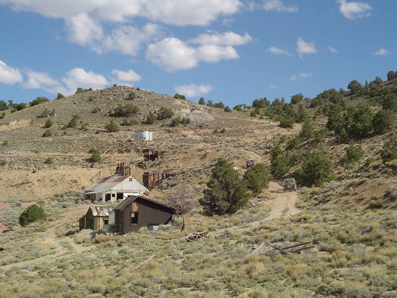
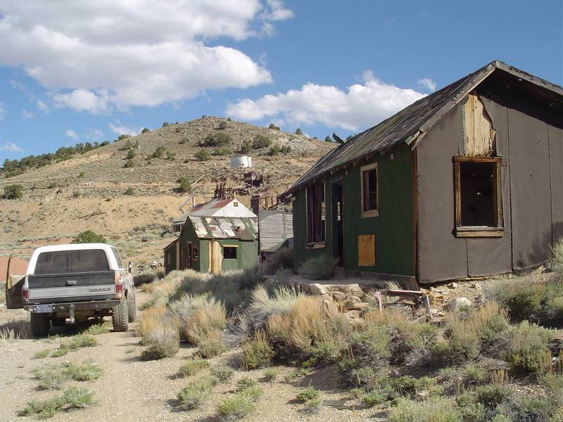
| Quite by accident, we have discovered the Red Rock Mercury Mine and Camp. Side roads are great! | More of the abandonned buildings in the area | All entrances to mines and diggings are blocked by the Nevada Division Of Minerals. | Looking down at the mill with the townsite in the background. |
 |
 |
 |
 |
| Looks like a real nice place. | The diggings here are very colorful. Hence the name Red Rock Mine. | An open pit with suport beams. One has fallen to the ground. | No thanks... |
 |
 |
 |
 |
| Another look. | A caving open pit. This place is very dangerous even with the fences. Who knows what you are standing on top of. | Another view of the colorful open pit. It's about 30 feet deep. | A close up view of the rock. |
 |
 |
 |
 |
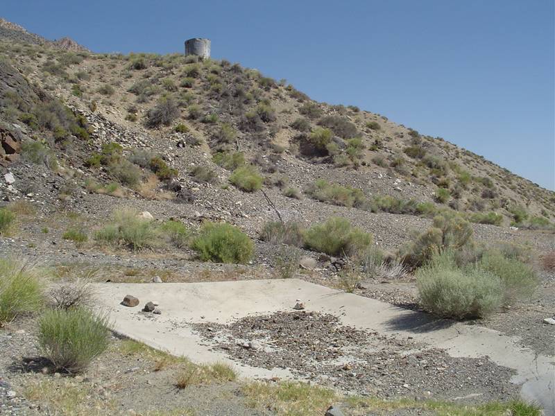
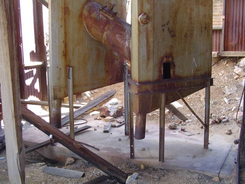
| Colors are everywhere you look. | Cabins line the street to the millsite. Above the millsite is another set of shafts and open pits. The water supply is up there too. | Two-pipe open-hearth furnace built by George Dunnigan in the late 1920's. | The mill. |
 |
 |
 |
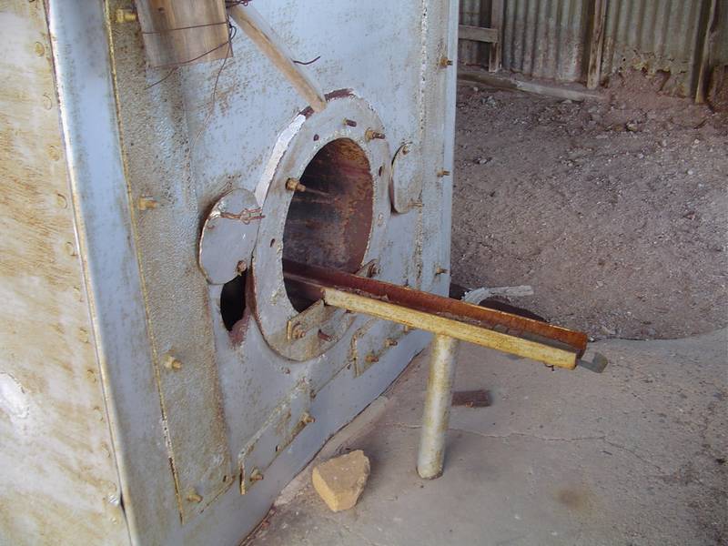
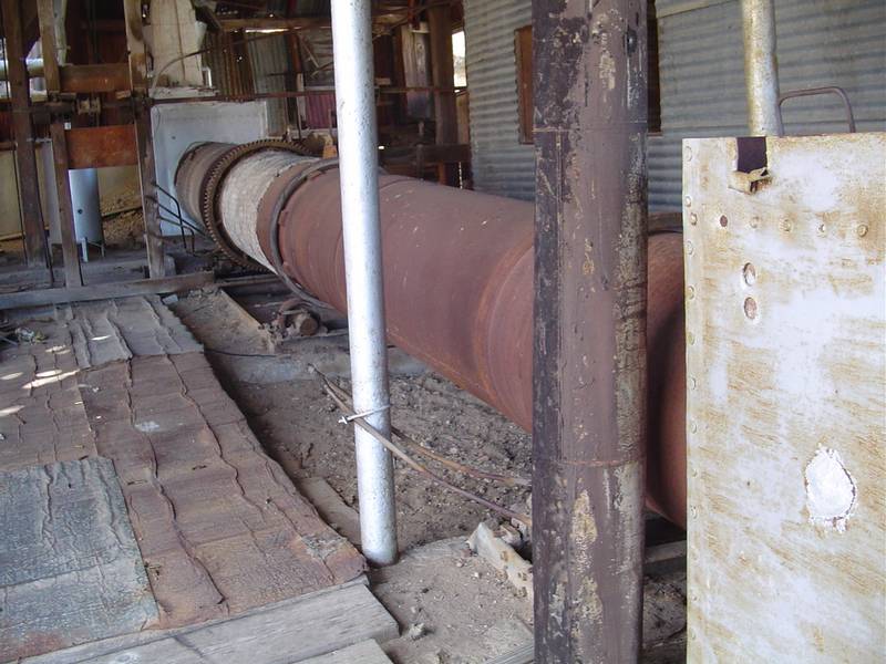
 |
| Brick-and-asbestos-lined rotary kiln maintains a temperature of 1200 to 1600 degrees. | The Rotary Kiln | The roasted ore is converted to the form of a vapor and the quicksilver then passes through a series of condenser pipes. | The quicksilver is ultimately deposited in special containers filled with water. |
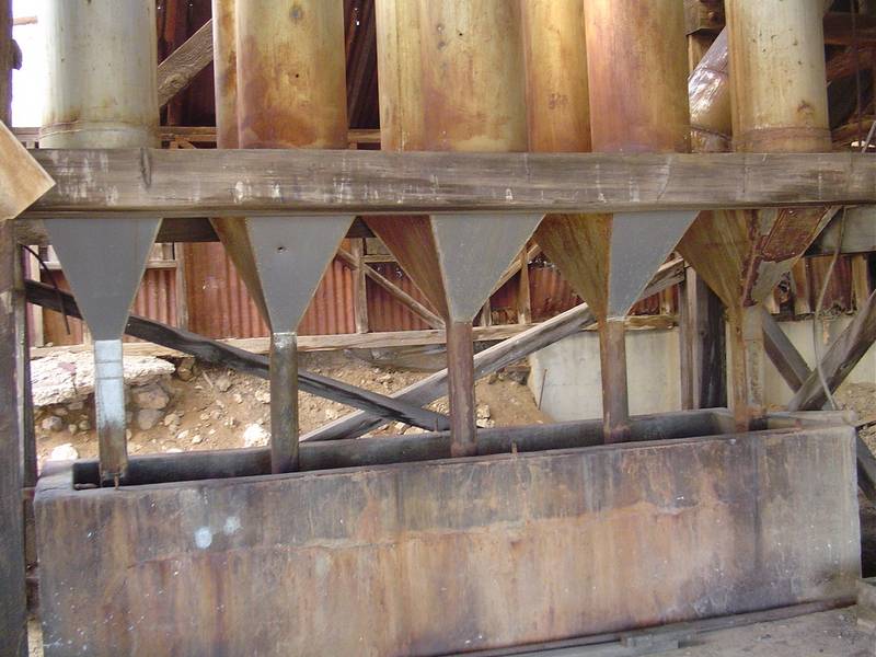
 |
 |
 |
 |
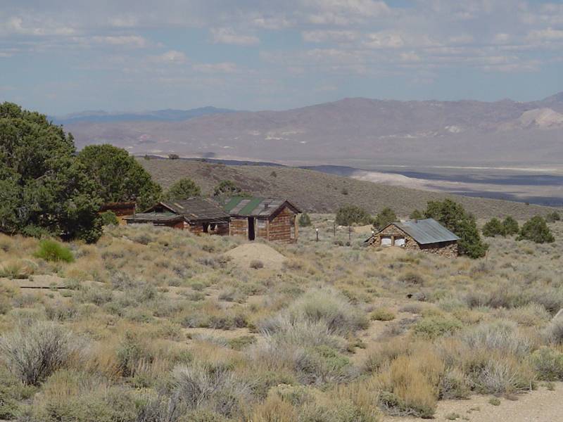
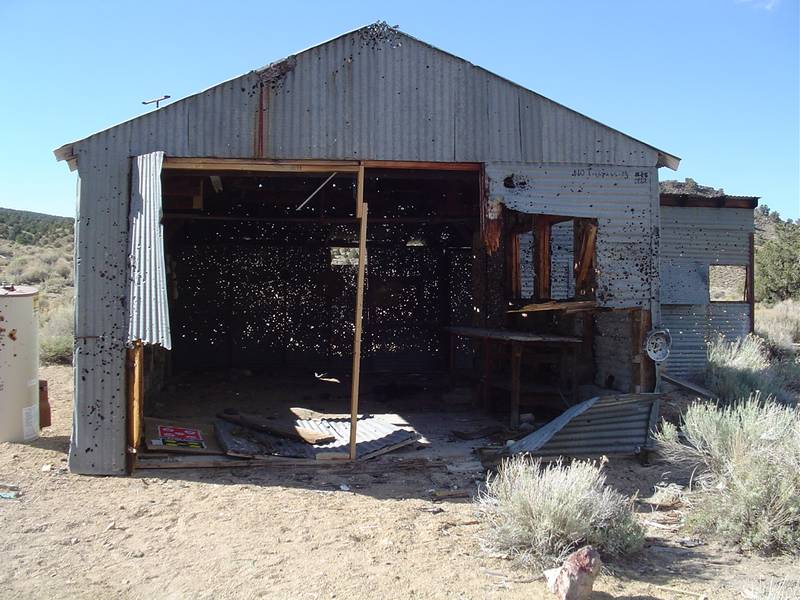
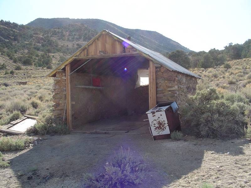
| Hopper and crushers prior to the rotary kiln. | An all rock building. | Looks like someone shot a couple of holes in this mechanics garage. | I guess someone didn't like the tune-up he got there. |
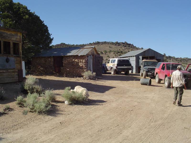 |
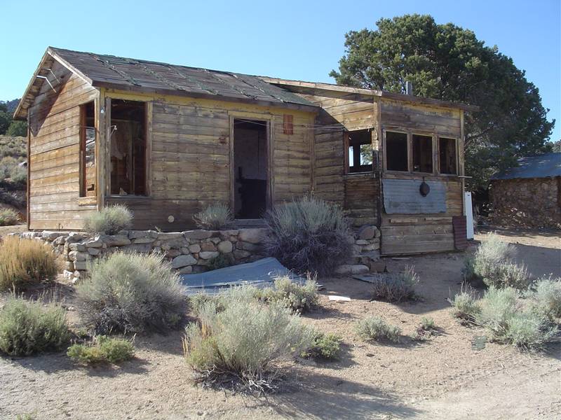 |
 |
 |
| We check out the townsite. | A very nice old cabin indeed. This one deserves to be fixed up! | The one car garage is in great shape also. | Back at the camp, we decide to take the next day off and just relax. |
 |
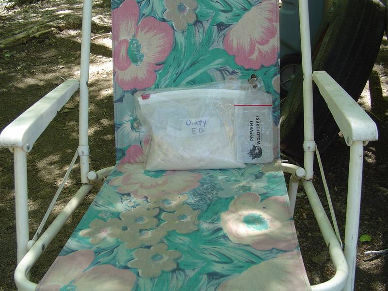 |
 |
|
| Tabby enjoys a bone... | Dirty Ed is with us in spirit and ash. He used to love to fish up here. Here he is in his fishing chair and with his fire permit container. | Crossing Wyman Creek MPG Video | The Bug Zapper In Action! Tabby hates this thing! MPG Video |